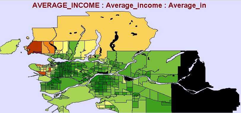
B) Arc View - Once in ArcView all the data was edited to find only the relevant areas and the relevant information. Some calculations were made in order to create relevant fields that did not occur in the initial dataset. A number of operations were done including spatial joins, queries and calculations. Calculations were done in order to find most of the statistics used in the analysis such as population density.
C) Projections - From ArcView all the data was projected using NAD 83 UTM 10n. This was done using ArcToolbox and the projection application.
D) Conversion - Using FME workbench all the Arc View shape files were converted into IDRISI vector files. IDRISI was used because it provides the necessary spatial analysis tools for a suitability analysis.
E) Conversion #2 - Once in IDRISI vector format, the layers needed to be converted to raster format for analysis to begin. Using the rastervector conversion under the reformat window provided the tools for this step.
F) Overlay - Full time employment and part time employment were combined into one layer as was professional parents to form an overlayed image for careers and for employment.
G) Distances - Some of the layers needed to have distance surfaces created such as roads, schools, and bus stops. This was done in order to show that the areas that were further away were less likely to yield a large number of students for the studio.
H) Buffer - Only the digitized dance studio locations layer was buffered and that was in order to provide an indication of where not to locate a studio. It would not be appropriate to consider starting a dance studio in a location that is already highly used.
I) Reclassification - The landuse layer was reclassed in order to provide an area suitable to the studios to be build. Areas such as parks and recreation sites, water bodies and industrial sites are considered unsuitable. Therefore areas that are primarily residential and commercial provide the best locations for a studio.
J) Fuzzy Images - All data layers that have now been created were made into fuzzy images with values ranging from 0 to 255. This allowed all the layers to be considered evenly in the MCE analysis.