Mapping of the
Emergency
Response Teams
to the 2010
Vancouver Olympic Venues
Methodology
Locality of both the fire departments and police departments are
very important if something were to happen during the Olympis
games. However they may be further from some of the venues
and finding the quickest routes to the venues are very
important.
Before I was able to conduct my
spatial analysis, I needed to digitize the locations for the
major hospitals in the GVRD. As well I had to digitize the
indoor Olympic Venues, as well as the police departments closest
to these venues. And I also had to digitize all of the
firehouses located within Vancouver and Burnaby. This was
by looking up the street addresses for each of these locations as
well looking a points on maps to get an estimate on where each of
these points are located. So I needed to refer to the
street network data to give a rough estimate on where these
points are located. But to do that, I first needed to
convert my streets data into Raster format. I then
digitized all the points I needed in Vector format, and converted
the Vector data into Raster The to convert the vector polgons,
lines and points, I used POLYRAS, LINERAS, POINTRAS
functions. Here is the cartographic model showing the
process of converting the files from vector to raster.

Cartographic
Model showing the conversion
of the GVRD vector file to raster.

Cartographic
model showing the conversion
of the streets vector

Image showing
the conversion of the GVRD
vector to raster

Image
showing the converson of the
street network vector to raster.

Map 1: Map of
all the Municipalities in the GVRD

Map
2
Map showing locations of the indoor Olympic
Venues Greater Vancouver

Map 3:
Location of Fire Departments in Vancouver and Burnaby.

Map
4:
Location of Police Departments in Vancouver, West Van, North Van,
Burnaby, and New Westminster.

Map 5:
Location of major hospitals in the GVRD.
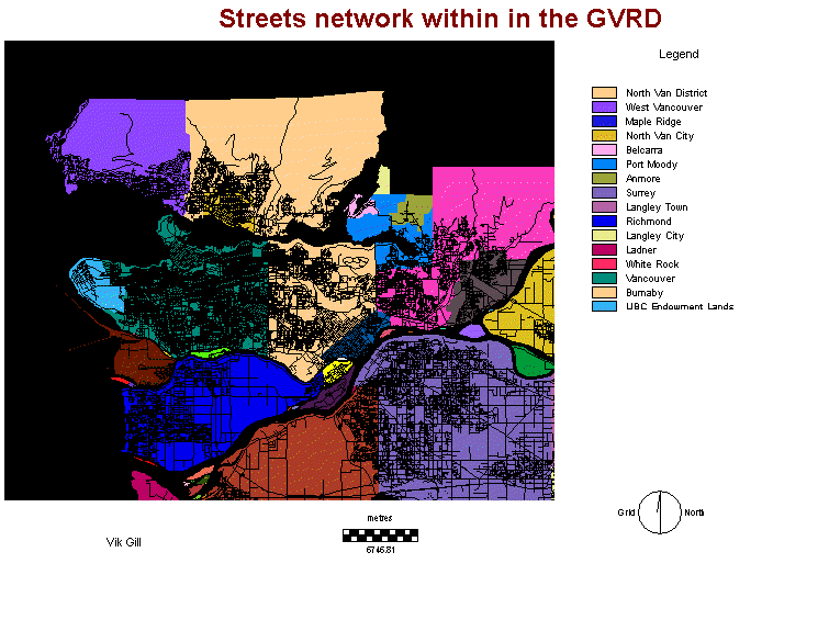
Map 6: Street
Network in Greater Vancouver
On
to Spatial Analysis
Back to
Homepage