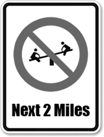
A play desert is a geographical area that does not have a present, accessible and stimulating outdoor space for use by children for play. There are many inherently spatial questions linked to the examination of the provision of quality play for childhood development, and the visualization capabilities of GIS are an excellent opportunity for incorporating multiple contexts in a diverse representation of the social and physical aspects of the issue.
The design of high quality outdoor landscapes has the ability to promote physical and mental health and development in children. Therefore, by locating where play deserts occur, areas that would benefit the most from play space improvements can be prioritized for urban development projects in the future. The main purpose of this project was to identify locations of play deserts within the City of Vancouver.
Click here to view the full project report.