Spatial
Analysis
The
following images were created from a variety of spatial manipulations using
IDRISI. These map images
show the cumulative steps taken to...
i. determine potentially developable sites for the proposed
hunting and fishing lodge
ii. analyze which of the suitable sites on Vancouver Island
will be big enough for the lodge to support
3 night on foot overnight hunting and fishing adventure treks.
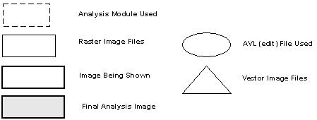
-
Beneath each image is a flow chart illustrating
the methods used to create each image analysis.
PROJECT INDEX
ANALYSIS 1
ANALYSIS 2
NEXT: Project Problems