
Research Focus
We focus on physical volcanology and more broadly on natural hazards. Understanding the processes that control and trigger active volcanoes, slope instability and other potentially cascading hazards is crtiical to enable effective mitigation.
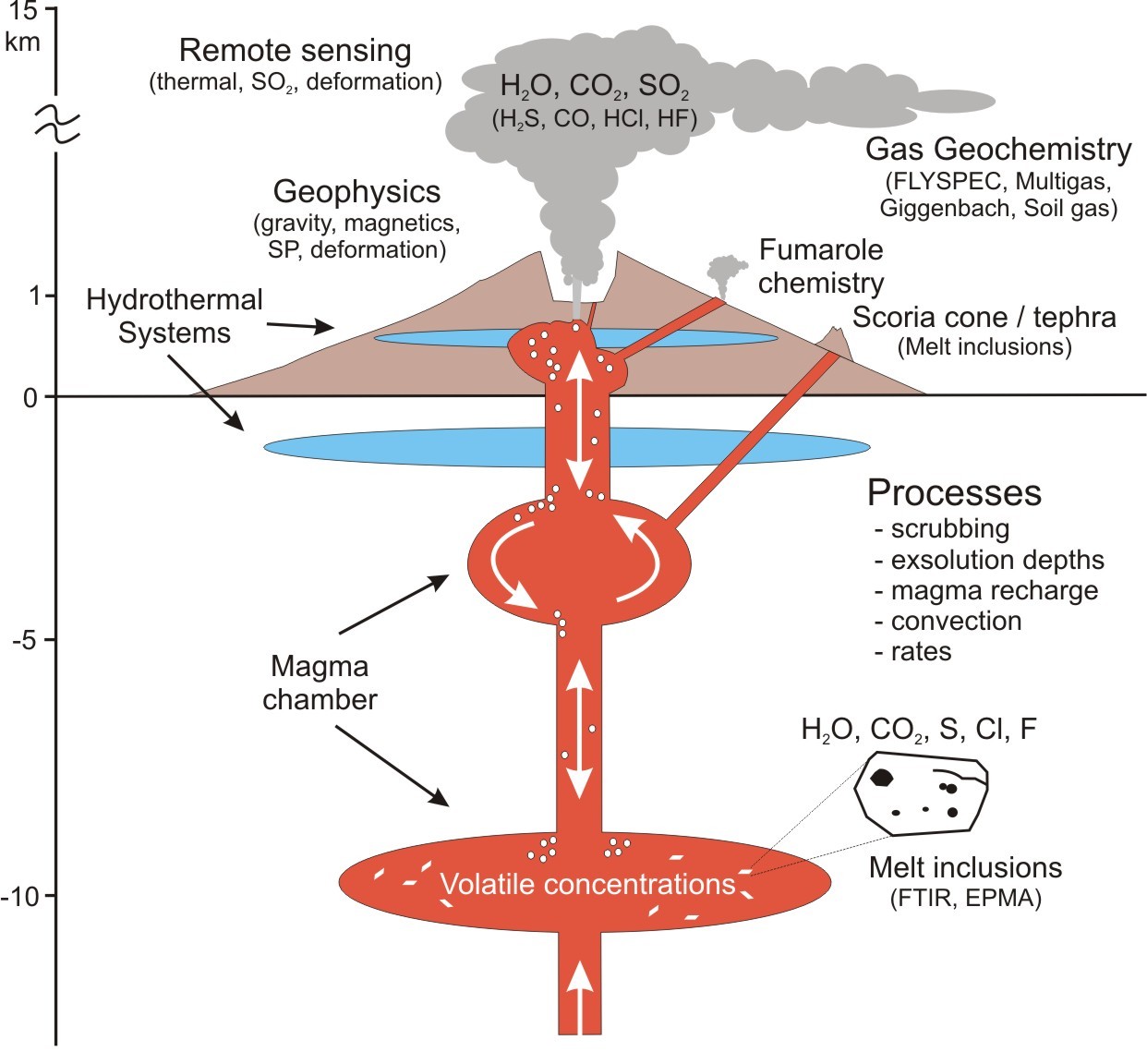
Our current multidisciplinary research integrates the study of geophysical signatures with geochemical, geotechnical and remote sensing data to investigate subsurface structures of magmatic systems as well as the precursory signals to, and the mechanisms that trigger natural hazards.
 Natural Hazards Data & Communication
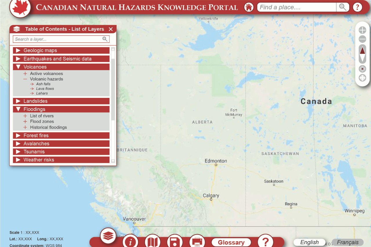
We are leading the development of a "one stop shop" for natural hazards information. The aim is to securely aggregate, curate and make readily searchable data for the public, government decision makers and citizen scientists.
New techniques to image subsurface structures
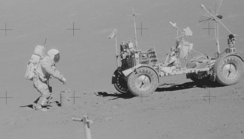
In collaboration with engineers and statisticians, we are helping develop novel gravity sensors and geophysical modelling approaches to more effectively image critical metal ore deposits and terrestrial analogues (e.g., lava tubes) for lunar exploration.
Continuous Monitoring
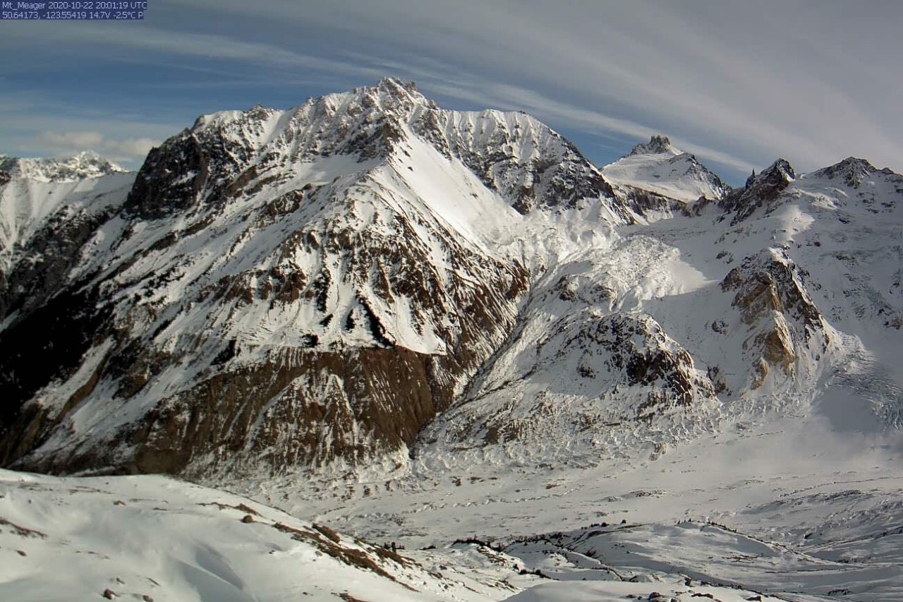
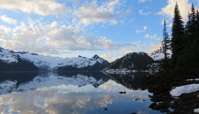
Working with private and public sector partners, we are leading the expansion of continuous monitoring (seismic, photogrammetry, etc.) of Canadian volcanoes and unstable ice-clad mountains - these include Mt. Meager, Mt. Currie and Mt. Cayley.
Magmatic history & plumbing system of the Garibaldi Volcanic Belt
This multidiscplinary research, integrating geophysical imaging with petrological studies, is aimed at characterising the magmatic plumbing systems of the GVB with particular focus on Mt. Meager, and Mt. Cayley.
Climate change & the stability of glaciated volcanoes
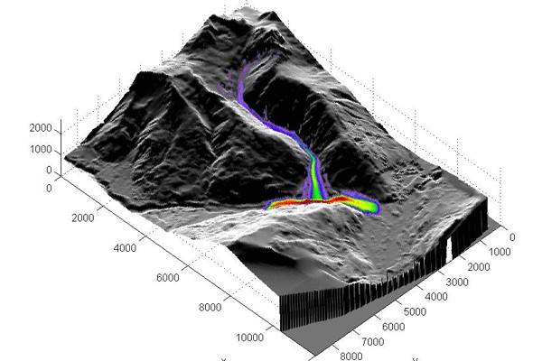
During summer 2010, snow and ice melt at Mt. Meager caused the largest historical landslide in Canada. Using remote, field and numerical techniques, we are characterizing landslides and glacial activity as well as their influence on the deeper volcanic system.
Modelling precursory signals at active volcanoes
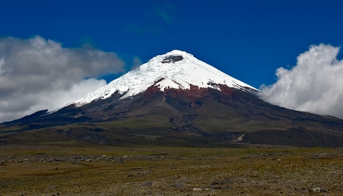
This work emphasizes 3D modelling of temporal and spatial gravity, deformation, and complimentary data to determine the source and triggers of eruptions. Current volcanoes being studied include Sierra Negra & Cotopaxi (Ecuador) and Taal (Philippines).