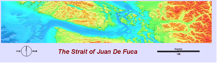
The major difference between the 1964 Alaska tsunami and a hypothetical future Cascadia tsunami with regards to British Columbia coastal communities are the angles of incidence of the incoming wave. The Alaska tsunami approached the coast at an oblique angle, so that my model results showed considerable reflection away from the coast, particularly in the Strait ofJuan de Fuca. The Alaska tsunami also had an unusually long period (~ 1 hour), which may have been due to it's shallow source area. For this reason, I chose a shorter period for the Cascadia subduction zone, which may be likely for a wave formed directly offshore of steep continental shelf as it enters shallow water. Figure 1 shows tsunami travel times to the Strait of Juan de Fuca. Figure 2 begins a virtual trip to the Northeast Pacific Ocean to watch the modelled 1964 Alaska wave propogate towards British Columbia.
It is clear from this simulation that the continental shelf off the coast of British Columbia plays a major role in redirecting the energy of the Alaska tsunami. The two areas of peak wave height and runup on the BC coast are in the Haida Gwaii (Queen Charlotte Islands) and in Port Alberni, where the incident and reflected waves augment each other as they cross, and the resulting wave propagates into a restricted coastline.
In contrast to the Alaska case, a Cascadia tsunami starting from my hypothetical epicenter (Figure 3) would travel nearly directly onshore towards the mouth of the Strait of Juan de Fuca. Reflection and refraction off of the continental shelf would direct some of the tsunami energy back to sea, but would also channel energy up the strait (Figure 4a,b). Moving in closer to the Strait of Juan de Fuca...