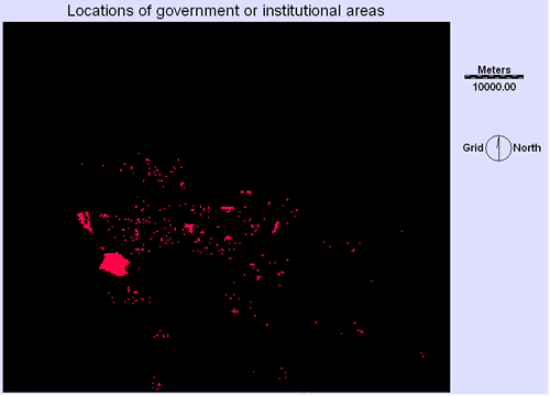
GOVERNMENT LOCATIONS
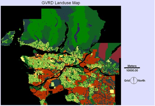
Using the GVRD land use map, the governmental and institutional areas were extracted out.
Mission Files Navigation
Home
Background
Sources
Methodology
Spatial Analysis
Problems
Final plan