For a better understanding of these transformations, the cartographic model can be displayed in a new window.
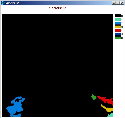
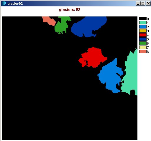
After manipulation of the imported ArcView theme "icefields_and_marshes.shp", and rasterizing the vector image, the result is a raster image of glacial cover:
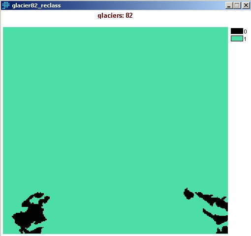
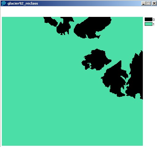
Reclassifying the image, in order to make it "transparent" for OVERLAY:
Overlay of glacier on top of DEM:


Calculating the average minimum altitude of glaciers using HISTO:


