For a better understanding of these transformations, the cartographic model can be displayed in a new window.
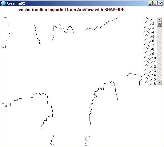
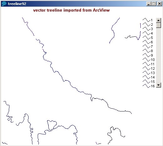
Import of ArcView treeline to IDRISI:
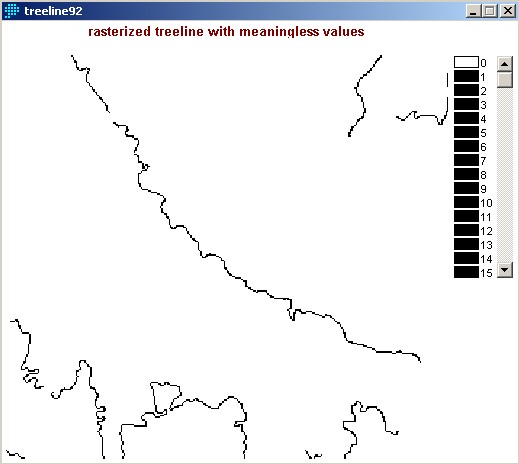
Rasterizing the vector image:

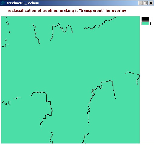
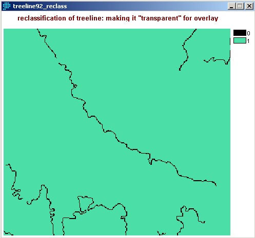
Preparing the treeline for overlay on top of DEM with RECLASS:
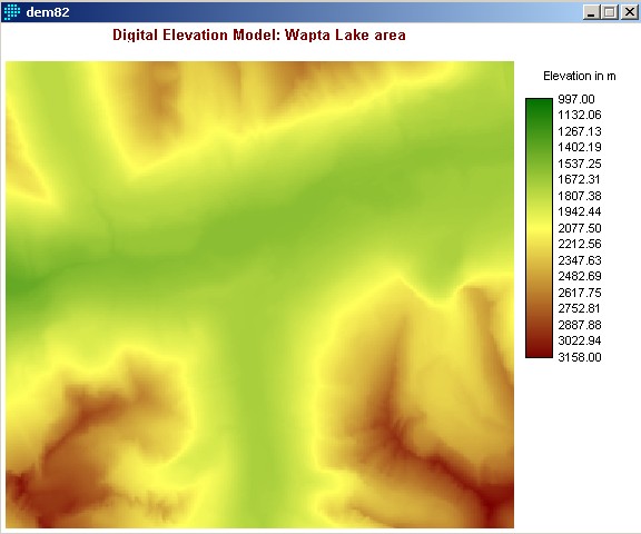
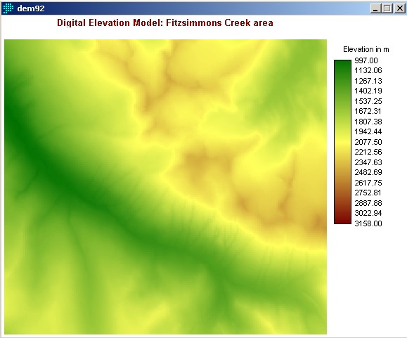
This is the DEM imported from ArcView:
Overlay of treeline on top of DEM, so only the elevation of the treeline pixels is retained:


Histograms: Finding the average elevation at treeline level:


