Data Collection.
Data collection was a very simple process in this analysis. The road network map data and enumeration
map data was supplied by Statistics Canada 1996 digital files. Because Canadian data is difficult to obtain, I had to use
population totals for 1991. I obtained this information from the University of Toronto under the Canadian Census
Profile Tables.
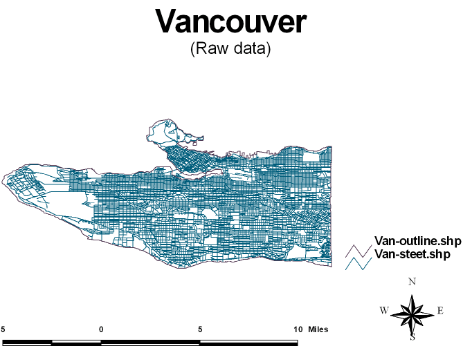
This is what the data for the road networks originally looked like. I had to remove (clean) additional information such
such as pipelines, parks, golf courses, rail lines and etc.
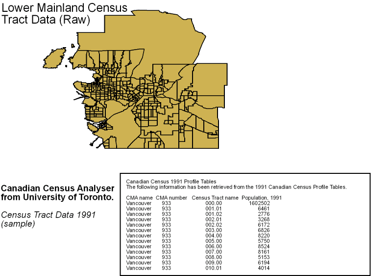
This is an example of the mapped enumeration data and a section of the population totals data. For the mapped
enumeration data I had to eliminate the all data that was not within the defined boundaries of Vancouver city limits.
I had to physically match the census tract name from the enumeration data with the census tract name from the
population profile tables to derive my population analysis.