|
Introduction
Objectives
Methodology
Analysis
Error
Issues
Results
|
|
 Since
the 1960’s, a great deal of theory based on geomorphic and
sedimentologic research has been done in Alberta.
Generally these studies involve many conflicting pattern and
landform interpretations and the gathering of sediment samples from a
limited geographical area. For example, in a recent study of till
characteristics both in and around the Travers Reservoir, north of
Lethbridge, M. Munro-Stasiuk (2000) suggests that the sediments are
subglacial in origin. Other
studies in different areas, such as, the R. Young’s study of
Saskatchewan gravels and sands north of Edmonton, suggest that the
sediments in this area were proglacial in origin (see also Beaney and
Shaw, 1999). Since
the 1960’s, a great deal of theory based on geomorphic and
sedimentologic research has been done in Alberta.
Generally these studies involve many conflicting pattern and
landform interpretations and the gathering of sediment samples from a
limited geographical area. For example, in a recent study of till
characteristics both in and around the Travers Reservoir, north of
Lethbridge, M. Munro-Stasiuk (2000) suggests that the sediments are
subglacial in origin. Other
studies in different areas, such as, the R. Young’s study of
Saskatchewan gravels and sands north of Edmonton, suggest that the
sediments in this area were proglacial in origin (see also Beaney and
Shaw, 1999).
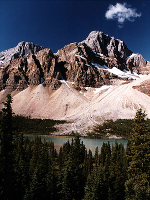
By studying these glacial landscapes, theories
pertaining to the way the ice sheets grew, decayed and how it interacted
with the climate can be made. Over
the years, much landform reconstruction research has been carried out in
the Southern Alberta area with studies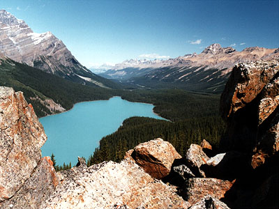 generally focused on numerous, small regions.
Another way of studying the area is to look at the overall
large-scale patterns of glacial landform and sediment distribution and
creating a visual tool that can display the phenomena.
In this way, general patterns and relationships that can’t be
seen over small areas may become more apparent.
generally focused on numerous, small regions.
Another way of studying the area is to look at the overall
large-scale patterns of glacial landform and sediment distribution and
creating a visual tool that can display the phenomena.
In this way, general patterns and relationships that can’t be
seen over small areas may become more apparent.
|