 |
||||||
All the Maps Produced
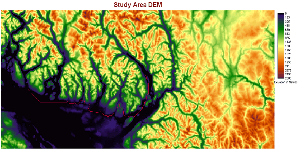
This is an inventory of all of the maps that were produced using the macro model shown previously. The quality of the images has been reduced considerably due to the original size of the bitmap outputs from IDRISI Kilimanjaro being quite large. The images are organised by site, showing the two cost durfaces first (insignificant river friction, then significant river friction), followed by the two least cost pathways with the same friction arrangement as the cost surfaces.
Site 5


Site 60


Site 89


Site 100


Site 139


Site 151 


NEED HIGH FRICTION PATHWAY HERE
Site 163 


Site 187


Site 198


