|
Crime prevention and policing are always a sensitive
issue to tackle because of the many problems linked to this topic.
This is true in almost every city in the world especially one that
is tagged by most people as a high crime rate city. If you live in
the Greater Vancouver Regional District (GVRD) in British Columbia
one will often hear certain stigmas about the city of Surrey, and
this has caused many people to have a mental image of what that city
represents. In 2005, the total crime rate for the city of Surrey was
higher than other surrounding cities such as Vancouver and Burnaby
(Park, 2006). Also, in 2002 the city of Surrey was given the dubious
honour of being the new car theft capital of North America (CTV, 2006).
There have even been forums written by people in Surrey that describe
how bad the crime and the image of the city are for districts like
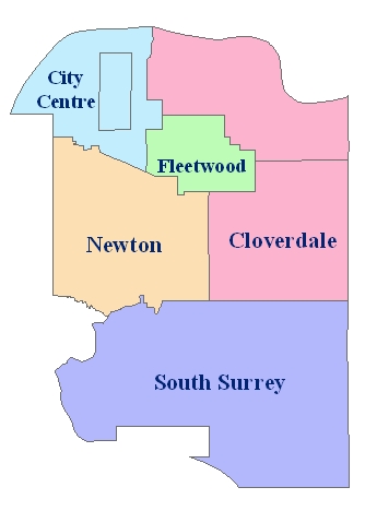
Whalley, which is located in the city center of Surrey. Therefore,
something must be done to help improve the crime and the stigma about
the city of Surrey.
|


