Walkability & Breast Cancer
Group 6
Risk Analysis of Breast Cancer Survivorship in Metro Vancouver: Considering Walkability and VANDIX
Introduction
Why are we doing this?
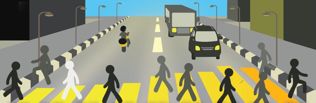
Introduction
Research has linked that exercise and diet can possibly reduce the risk of developing breast cancer and other hormonal related illness. Our research study will examine the data and algorithm used to calculate the walkability of Metro-Vancouver based on residential density, commercial density, land use mix, and street and pathway connectivity. To this criteria, we will add socio-economic data and other variables that we determine are relevant to assess risk for developing breast cancer, as well as determining areas that could positively influence breast cancer survival rates.
- Client: Dr. Nadine Schuurman & Dr. Miriam Rosin
- Role: Academic research and study on walkability in Metro Vacouver
- Year: 2014
Data Collection
Data We Have Used

Data Collection
This page shows the data we have collected for our calculation of walkability score accroding to our algorithm.
Our Walkability Algorithm
Something Beyond Walk Score
Our Walkability Algorithm
This section discusses the algorithm we have created. Our objectives and our vision is to create a standardized walkability rating that beyond currently used Walk score and includes socio-economics factors, amenity location and land use mix.
Maps Gallery
Maps for Walkability of Metro Vancouver
Maps Gallery
The maps gallery collects the final maps derived from our analysis and a few interactive maps presenting our data on OpenStreet Map.
Spatial Analysis
How It Is Done

Spatial Analysis
Here you can know the detailed steps of our analysis as well as our result of the analysis.
Reference
List of Articles That We Have used

Reference
This section lists the articles that we have studyed and referred throughout our reserach and analysis.
About Us
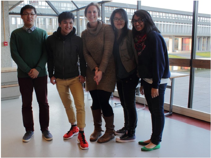
Hi, we are Group six. This the final project for GEOG 455 - Advanced Issues in GIScience, Spring 2014, Simon Fraser University. Our group members are as follows:
Aateka Shashank
BA International Development, Simon Fraser University, 2015
Certificate in Spatial Information Systems, Simon Fraser University, 2015
Aateka has been a part of several public space initiatives in the City of Vancouver, such as City Studio’s Reimagine Your Park Project, and the Kits Space Project.
The Walkability project is of particular interest to Aateka from the urban planning and public policy perspectives. As part of the Spring 2013 City Studio cohort, Aateka studied initiatives promoting community connections and the use of public spaces to bring people together. Her background in international development has provided an analytical framework for the concepts considered in walkability and as they relate to the organization and well-being of people and ultimately entire communities, neighborhoods and cities.
Han Bai
BSc Geographic Information Science, Simon Fraser University, 2014
Certificate in Spatial Information Systems, Simon Fraser University, 2014
Han has worked at Wuhan Urban Planning and Design Institution in China as a summer internship where she was involved with various urban planning projects of differing focuses.
Han is interested in the Walkability project because she thinks the walkability index is highly related to urban planning, especially concerning transportation planning and land use design. Through this project Han hopes to build on her experiences of decision making processes.
Melaine Maclnnes
BA Human Geography, Simon Fraser University, 2003
Certificate in Spatial Information Systems, Simon Fraser University, 2014
Melanie currently works as a Remote Sensing Operator conducting ship detection over the East and West coast of Canada as a civilian working for MDA, contracted by Canada's National Defense. (see Polar Epsilon)
The Walkability project is of particular interest to Melanie from a rural-urban perspective. For 10 years, she was able to enjoy some of the more walkable places, such as Victoria, Vancouver and Whistler within Canada, as well as the Gold Coast, Sydney and Melbourne in Australia. Having returned to the place where she grew up near the Agricultural Land Reserve, she still makes time for exercise, but no longer benefits from walking as a form of transportation. This is why Melanie feels walkability is so important and the difference between walking for leisure and for commuting is such a vital key to this equation.
Terence Wong
BA Human Geography, Simon Fraser University, 2014
Certificate of Spatial Information System, Simon Fraser University, 2014
Terence worked as an intern for Rocco Architectural Design, Inc. in Hong Kong, an architecture firm that designs infrastructure and buildings for the local government and other overseas clients.
Terence brings a curiosity in the Walkability project as it relates to the urban built environment. He has a deep interest in how these elements interact with each other to generate connectivity and thus walkable environments in the context of urban planning and architectural concepts.
Harry Ma
BA. Geography, Simon Fraser University, 2015
Certificate in Spatial Information Systems, Simon Fraser University, 2015
Harry originates from China and has taken many GIS classes for the past few semesters.
Harry accessed and researched the literature review for the Walkability project. He believes the Walkability project is a good chance to make use of Spatial Information Systems.
- Location: Simon Fraser University, Canada
- Course Geography 455
- Professor Dr. Nadine Schuurman
- Full report: RISK ANALYSIS OF BREAST CANCER SURVIVORSHIP IN METRO VANCOUVER CONSIDERING WALKABILITY AND VANDIX