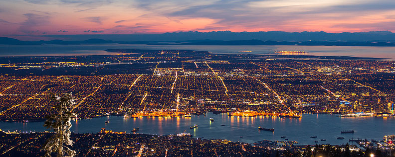
Earthquake Vulnerability Assessment and Critical Infrastructure Inventory of Metro Vancouver
Methodology
Critical Infrastructure Inventory
Table 1: Through extensive research and literature review, An inventory of critical infrastructure in Metro Vancouver was collected and displayed in ESRI ArcMap.

Earthquake Vulnerability Index Map of Metro Vancouver
In order to determine the most vulnerable areas of Metro Vancouver, weighted multi criteria evaluations were performed in IDRISI for three categories of vulnerability. Through extensive research from previous earthquakes, three factors contribute to persons vulnerability in a hazard event. Systemic vulnerabilities; defined as accessibility to the nearest hospital or fire hall and distance to nearest public evacuation center. Physical Vulnerabilities; due to Metro Vancouver's location on the Fraser Delta, the potential for liquefaction to occur increases risk of infrastructure damage with serious side effects. Social Vulnerabilities; areas of lower socio-economic status typically have less accessibility to proper resources and shelter necessary in a hazard event.
1) Systemic Vulnerabilities


Figure 4: A network analysis performed in ArcMap determined areas that were furthest (by driving/walking time) from emergency services and evacuation shelters. Vulnerability increases as driving and walking time increases.
Table 2: Average speeds of Ambulance and Fire Truck respondance were used when performing the network analysis. A network analysis was also performed using average walking speed to determine distance to nearest evacuation shelter .

Table 3: Systemic Vulnerability factors and corresponding weights. A pair-wise comparison method was used to derive the weights. Source material assisted in decision-making for weight assignment.


Figure 5: Result of network analysis for Systemic Vulnerabilities based on travel time to emergency services and evacuation shelters.
2) Social Vulnerabilities


Figure 6: Socio-economic indicators such as population density, dependant population, Avg. income, and single parent households were included to determine the most socially vulnerable areas of Metro Vancouver
Table 3: Social Vulnerability factors and corresponding weights. A pair-wise comparison method was used to derive the weights. Source material assisted in decision-making for weight assignment


Figure 7: The result of a Weighted Multi Criteria Evaluation of socio-economic factors to determine the most socially vulnerable areas of Vancouver.
3) Physical Vulnerabilities


Figure 8: Catastrophic destruction caused by liquefaction include major transportation route damage and ruptured water and gas lines increasing risk of fire spread.

Figure 9: A detailed explanation of the dynamic process of liquefaction and how it causes damage in an earthquake event.

Figure 10: Through analysis of soil data provided by CanSIS, liquefaction zones were delineated based on their potential for hazardous liquefaction to occur.
Final Weighted Multi-Criteria Evaluation
A final earthquake vulnerability map was produced through the overlay of the social, systemic and physical hazard maps. Each map was assigned an equal degree of importance, as there is much debate by experts on which factor is the most important to consider during a natural disaster. Combining these three vulnerability categories produced a final map of Metro Vancouver displaying 5 degrees of vulnerability to a mega-thrust earthquake. For more detailed information on the methodology of our analysis, please refer to our report.