Earthquake Vulnerability Assessment and Critical Infrastructure Inventory of Metro Vancouver
Study Area
Earthquakes Risk in Metro Vancouver
Megathrust earthquakes occur at subduction zones, where the dense oceanic plate slides under a less dense continental plate. Most of the world’s subduction zones are found at the plate boundaries of the Pacific plate. Metro Vancouver is located near the Cascadia Subduction Zone, a 1000 km fault line extending from southern British Columbia to northern California where the Juan de Fuca plate is subducting underneath the North American Plate. This plate boundary has not produced a major earthquake in recorded history; recent studies, however, have found that the last earthquake occurred in 1700, and the risk of a major earthquake occurring in the next 50 years could be as high as 37%. Because Vancouver has not experienced a major earthquake in its history, many buildings are not seismically reinforced and are at risk of severe damage or collapse in the event of an earthquake.

Figure 1: A cross section of the Cascadia Subduction Zone showing potential earthquake locations that could affect Metro Vancouver.
Defining Critical Infrastructure
Public Safety Canada defines critical infrastructure as the “processes, systems, facilities, technologies, networks, assets and services essential to the health, safety, security or economic well-being of Canadians and the effective functioning of government,” and that should our critical infrastructure be disrupted, it would result in loss of life or severe economic damage.

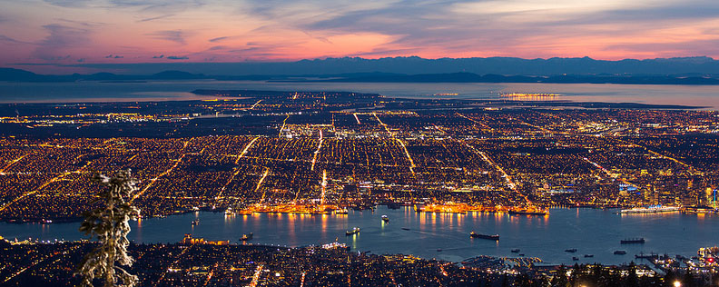
Figure 2: Road networks play a major role in Disaster evacuation and emergency response and are thus defined as Critical Infrastructure.
Defining Vulnerabilities
Vulnerability can be defined as the “characteristics and circumstances of a community, system or asset that make it susceptible to the damaging effects of a hazard.” For the purpose of this project, we divided vulnerabilties into three sectors: Social, Physical and Systemic. Social Vulnerabilties takes socio-economic factors such as Avg. Income, dependant population (age: <15 & >65), and education to determine low socio-economic areas of Metro Vancouver. Physical vulnerabilities uses liquefaction zones and landslide risk zones to determine areas vulnerable to these dynamic phenomenon. Finally, Systemic Vulnerabilities determine areas that are less accessible to emergency services (Fire, Ambulance) and evacuation shelters (public buildings)

Figure 3: Low Socio-economic status neighbourhoods are more vulnerable in disaster events such as earthquakes.
For more information on the background of our study, please refer to our report.