Data for this site was obtained from the DMTI folder on the S drive of the SIS lab. Data was all obtained from this site in order to avoid discrepancies in data accuracy and collection methods.
DMTIs site can be linked to from here: http://www.dmtispatial.com
Data Conversion:
Data collected from the DMTI folder was all in ArcView Shapefile (.shp) format. Analysis for the study was all conducted in IDRISI Kilimanjaro, which uses .rdc format for analysis in raster format. This required data conversion in order for analysis to take place.
Data was imported into ArcToolbox so that the data projections could be defined and subsequently projected in the projection wizard. All data was projected in NAD_1983_UTM_Zone_10N, this was done because is the format in which most of the data came in and UTM is also an easy projection in witch to perform analysis.
Once the projections were given to the shapefiles FME was used to convert the data from shapefiles into IDRISI vector format. In order to be able to view the vector files in IDRISI the dbf files belonging to the shapefiles had to be altered in excel so that the feature that was to be displayed was in number format, otherwise it could not be seen in IDRISI.
In IDRISI the vector files were switched to raster format so that the desired spatial analysis could be preformed on them. Files were changed from vector to raster within the macro modeler.
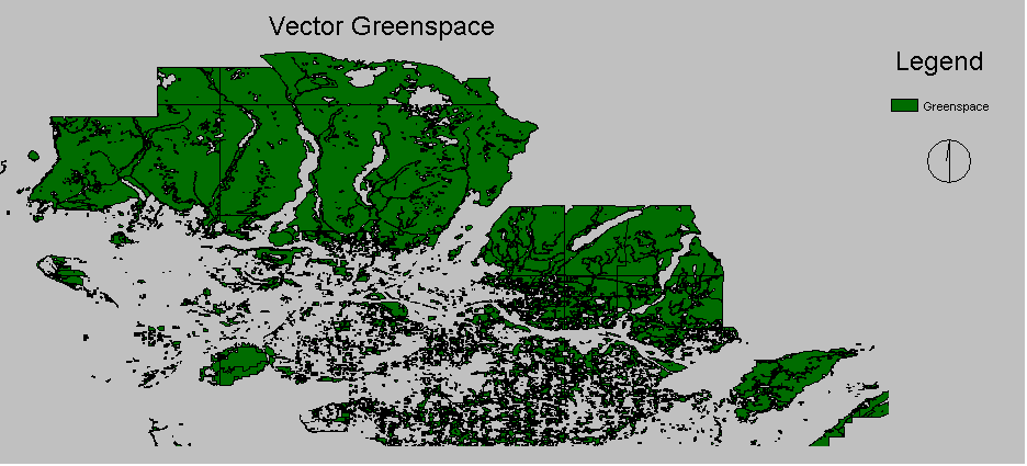
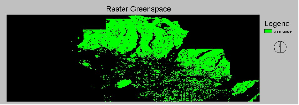
Examples of vector and raster images for green space can be seen below.