Each of the images converted to raster format were reclassed so that they had the correct number of categories necessary for analysis purposes. This is also the stage at which the constraint files were made for green space and landuse.
Boolean:
The images that acted as constraints for spatial analysis were converted into Boolean images. Areas that were not considered suitable for development were given a value of 0 and those that were considered suitable for development were given a value of 1. An example of the landuse constraint image is shown below.

Distance:
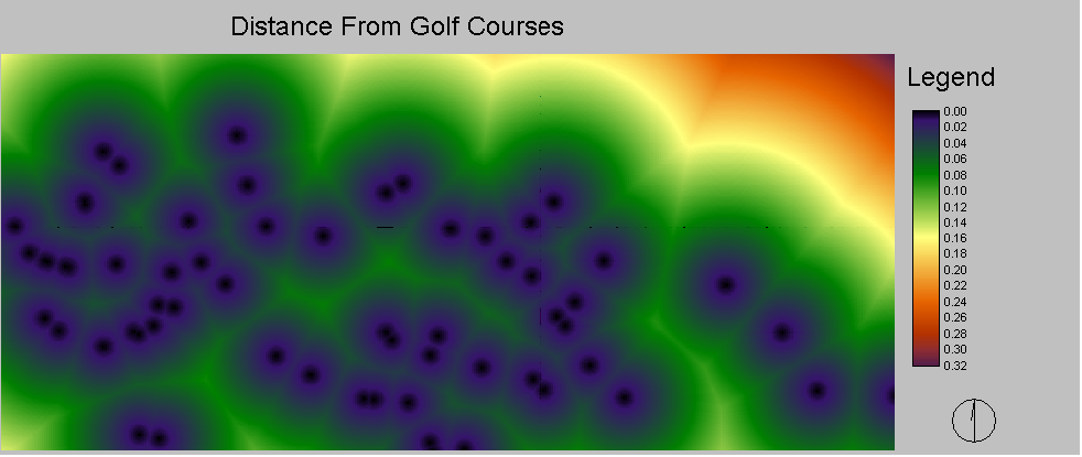
Distance functions were applied to all images that were going to be used as factors in spatial analysis. This was done within the macro modeler. An example of the distance module was created for distance from present golf course locations in shown below.
Fuzzy:
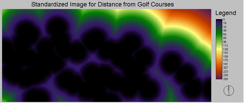
Once distances were calculated for each of the factor images they were standardized onto a scale of 0-255 so that easier comparison would be possible. Below the standardized image for the distance from golf courses can be seen. For this particular standardization a Sigmoidal function was used to standardize it. Proximity to other golf courses is seen as less suitable for golf course development as it would mean increased competition therefore you see the values increasing towards 255 as distance from golf courses increases. Similar operations were preformed on all other factors.