Introduction
GPS collars are being used with increasing frequency in animal studies to track behaviour and migrational patterns. These collars are useful because they have the ability to provide a continuous record of animal locations that is otherwise not achievable using traditional technologies. By communicating with a series of satellites, GPS collars collect locational data, although this communication can often be unreliable. Factors such as slope, aspect and vegetation cover can all affect the reliability of these collars.
Fix rate is "the likelihood of a radiocollar failing to obtain GPS fixes given a variety of terrain and habitat conditions" (D'Eon et al., 2002). This is an important measure as physical obstructions between collars and satellites affect communications. Another measure of error for GPS receivers is the positional dilution of precision (PDOP), which is a unitless measure of satellite geometry and the resulting loss of precision (D'Eon et al., 2002; Orio et al., 2003).
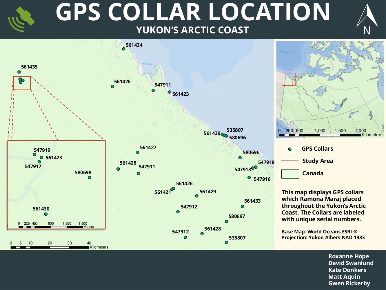
This project was created for Ramona Maraj, a carnivore biologist with Environment Yukon. Ramona is researching the behaviours of grizzly bears in the Yukon's North Coast. In the summer of 2009 and 2010, 48 GPS collars were placed in stationary locations. These collars were then analyzed to find error in communications between the GPS collars and satellites. This project analyses and discusses the data collected and examines the fix rate bias and PDOP for the GPS collars.