Stage 4: Geodatabase creation and
set up
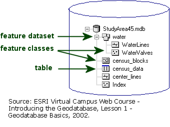
The geodatabase is created to reflect the relationships that exist between
the various feature classes and tables within the feature data set as
described previously. Once this important step has been executed information
can be imported into the Geodatabase.
For coordinate system information, UTM
Zone 10 NAD 83 is imported from existing coverage projection information.
For spatial reference extent, the XMIN, YMIN, XMAX and YMAX values are
determined by arbitrarily drawing a boundary box and finding the corresponding
UTM values which are shown in the diagram. This arbitrarily boundary
box is buffered beyond the cadastre actual extent. It was found that
this spatial reference extent must be keyed in or else default values
will be used that are not within any of extent of the data layers.
The actual data in these layers/tables can be loaded before or after
schema is created. It was found that attribute tables were better loaded
before creating schema (into an empty geodatabase) because values can
only be added manually or through ArcObject scripts to the established
empty attribute table (in a similar maaner to the relationship class
tables). Feature class layers can be loaded to the geodatabase before
or after applying Case Tools schema. Both ways can be loaded using Simple
Data Loader in ArcCatalog (while the Data Loader in ArcMap can be used
only afterwards). Simple Data Loader only loads data without behaviour
or relationship classes which can be accomplished if loading data before
creation of geodatabase schema using CASE Tools. Since the proper method
described by ESRI to load data is after the creation of geodatabase
schema, the Data Loader in ArcMap was used.