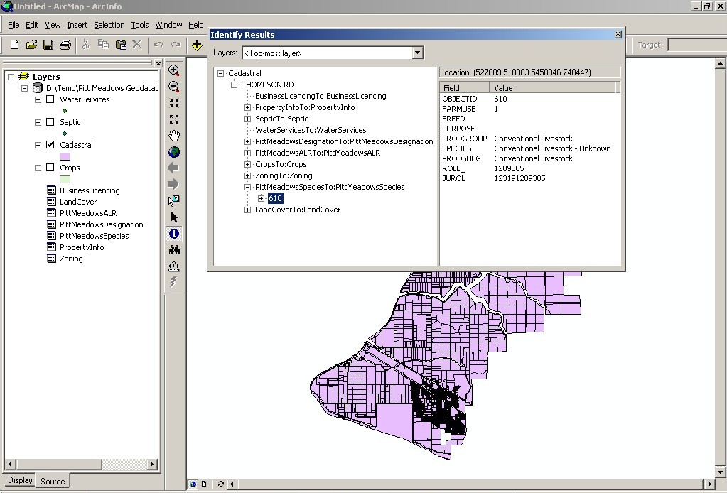
Results
The Geodatabase was successfully modeled,
inputted and finally populated. One-to-many relationships were modeled
between the feature classes and attribute tables and the cadastral
feature layer because they did not require the use of an intermediary
relationship class (which require significant time to implement).
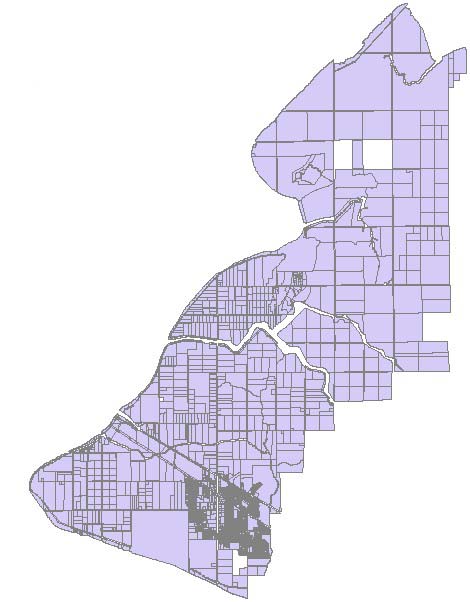
When it was finally created, the Geodatabase contained the following
feature classes and attribute files: Crops, Septic, Water services,
Cadastral, Pitt Meadows Species, Land Cover, Business Licensing, Pitt
Meadows ALR, Property Information, Zoning, and Pitt Meadows Designation.
The type of modeling used produced the results we had intended for
all of the attribute tables and for the crops, septic, water services,
and cadastral feature layers. The feature layers were linked using
PCLLINKSID, the Zoning attribute table was linked using ZONING, and
the rest of the attribute tables were linked using JUROL.