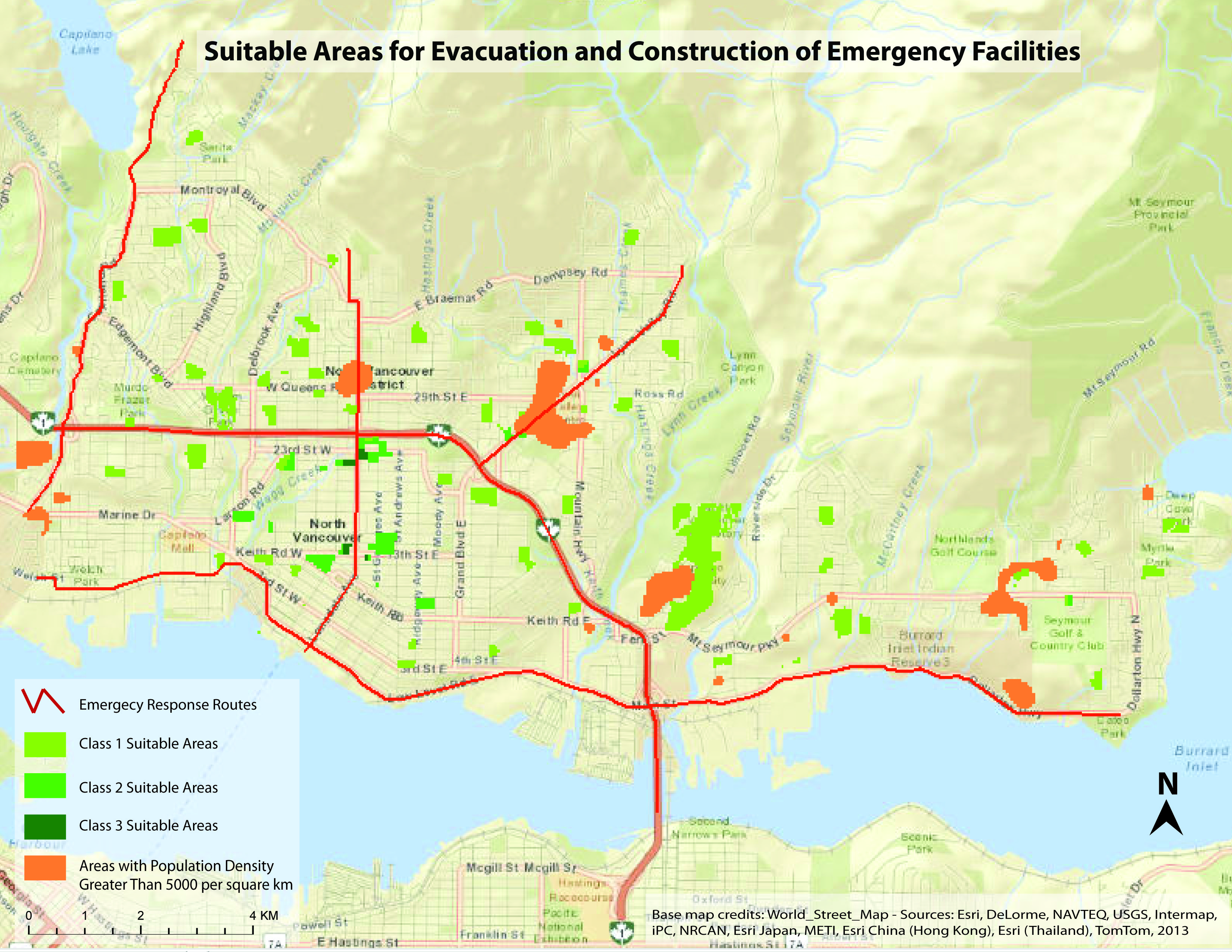
- In the MCE analysis, the population density data of City of North Vancouver is not included. Thus, all the densely populated areas are distributed in District of North Vancouver
- Suitable locations for emergency facility are evenly distributed within 1 km of all the densely populated areas. So a further analysis of best evacuation route is not necessay.
- The suitable location rating have a value range from 0 to the highest score of 91. This value range is evenly reclassed into three categories, namely, Class 1 (0-30), Class 2 (30-60), and Class 3 (60-92).