Method
The suitable areas for emergency evacuation and emergency facilities can be determined by Multi Critrea Evaluation (MCE) on IDRISI. To perfome the MCE, raster files of 2 constraints and 5 factors are conducted beforehand.
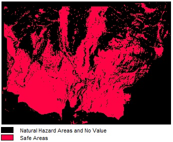
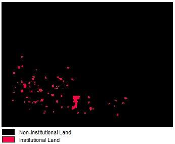
- Constraints:
- The suitable site must not be located in areas prone to any kind of natural hazard.
- The suitable site should be located in well-known institutional lands, such as community centers, libraries, parks, and schools to increase efficiency and decrease construction cost.
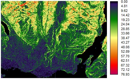
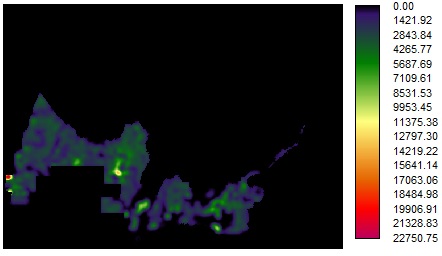
- Factors:
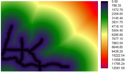
- Distance to emergency response route
- Slope of the area
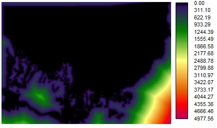
- Distance to natrual hazard areas
- Population density
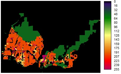
- Land use type
In the MCE analysis, every factor will be stadardized to a rating scale of 0-255 according to certain mathmatical functions, so that every cell on the final raster file will be given a value and ranked. The impotance of every factor is determined by Order Weighted Averaging (OWA) method. An area with the highest cell value will be the most suitable location.