Data Acquisition
Oregon Department of Forestry
This website provided all the data that was used in the project. These files consisted of land bases, counties, management basins, ecoregions, railroads, roads, streams, and stand information from 2001 and 2002. All these files were in zip format and were extracted to open the usable files.
This website provided downloads of 10m resolution digital elevation model of northwest Oregon. This high resolution was not necessary for this project and was later reduced in IDRISI. This was required for any further analysis with operations such as overlay in IDRISI.
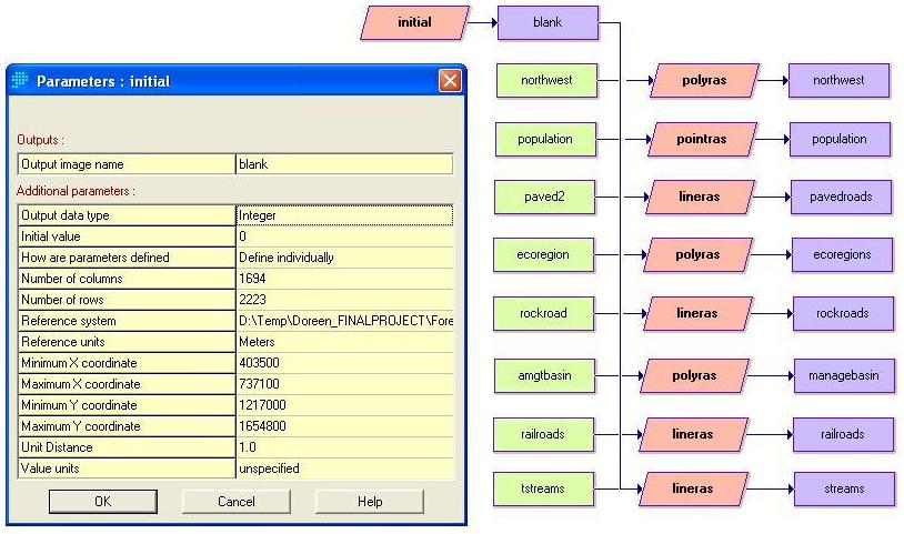
Conversion
The
data
was in shapefile format. ArcMap was used to convert this data into
IDRISI
raster files. When the shape file was displayed in ArcMap right
clicking on the
layer name opens a drop list (Data – Export Data)
Import into IDRISI requires (File - Import – Software-Specific Format –
ESRI
Formats – SHAPEIDR). The reason for this conversion is due to the
limitations
to the IDRISI program. Complex models can be created but the files all
need to
be converted from shape files to either raster or vector. A problem
that arose
was that the all the data from the Oregon Department of Forestry was in
shape
files that was later converted to vector files in IDRISI.