Introduction
What is the purpose of the research project?
Vancouver’s urban planning is largely based around the livability of the city through projects that involve sustainability, public housing and transportation (City of Vancouver, 2016). In 2011 current mayor Gregor Robertson was re-elected based off of campaign promises to combat street homelessness, address affordability of housing and to make Vancouver the greenest city in the world (Vision Vancouver, 2016). To honour these commitments the Vancouver City Planning Commission was formed to work on a project called the Sustainable City of Sustainable Neighbourhoods Project that outlined implementation strategies for improving sustainability and efficiency of neighbourhoods in the city (Vancouver City Planning Commission, 2011). This project allowed for the foundation and development of the Greenest City 2020. This initiative outlined ten goals with the fourth focusing on green transportation, which encompasses walking, cycling and public transit. They hope to do this by creating complete communities, which have convenient access to grocery stores, coffee shops and post offices (City of Vancouver, 2012). The Greenest City 2020 set the stage for consultation and development of the Transportation 2040, of which land use and walking are outlined as two of the seven directions for the success of this plan. These two goals promote shorter trips and greater use of transport while developing neighbourhoods and infrastructure that make walking safe, comfortable and delightful, to encourage walking culture and healthy lifestyles (Vancouver City Council, 2012).
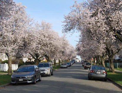
FRASERVIEW
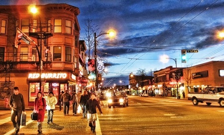
GRANDVIEW-WOODLANDS

HASTINGS-SUNRISE
Walkability
Between 2001 and 2005 in California, James F. Sallis and a group of researchers developed the Neighbourhood Environmental Walkability Scale (NEWS) while conducting the Neighbourhood Quality of Life Study (NQLS) (University of California). NEWS was developed to assess resident perception of neighbourhood design in relation to physical activity. This in turn is a scale of perceived walkability based off of residential density, land use mix, street connectivity, infrastructure, aesthetics, traffic, crime safety, and neighbourhood satisfaction (University of California). The walkability of a neighbourhood was a major factor in measuring the livability of a neighbourhood for the NQLS (University of California). Walkabiltiy is a method used to quantify the physical activity within an area and can be measured through an objective or subjective means. Objective Walkability is measured through geographic information systems using the physical environmental attributes of connectivity and proximity (Leslie et al, 2007).The subjective means is calculated through perception. The perceived walkability of an areas or neighbourhood is calculated using surveys or questionnaires (Owen et al, 2014). The objective and perceived walkabilities of the Grandview-Woodlands, Hastings-Sunrise, and Victoria-Fraserview neighbourhoods in Vancouver will be measured using GIS and an altered NEWS-A environmental scan. The perceived walkability scores will be interpolated using the method of Kriging and compared to the objective scores of each neighbourhood. This study will identify the strengths and shortcomings of each approach and discuss how these scores are applicable to the Vancouver City Council’s Sustainable City of Sustainable Neighbourhoods project.