Data analysis
All the spatial analysis was preformed in IDRISI Kilimanjaro. The corresponding factor results from the MCE, for each species, are shown below. Click on the thumbnails to view full size images.
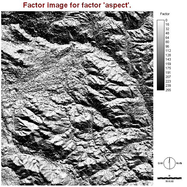
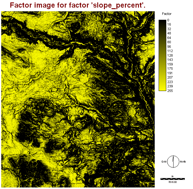
Pine
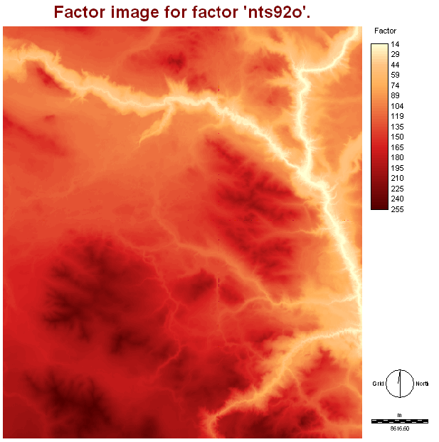 Elevation factor |
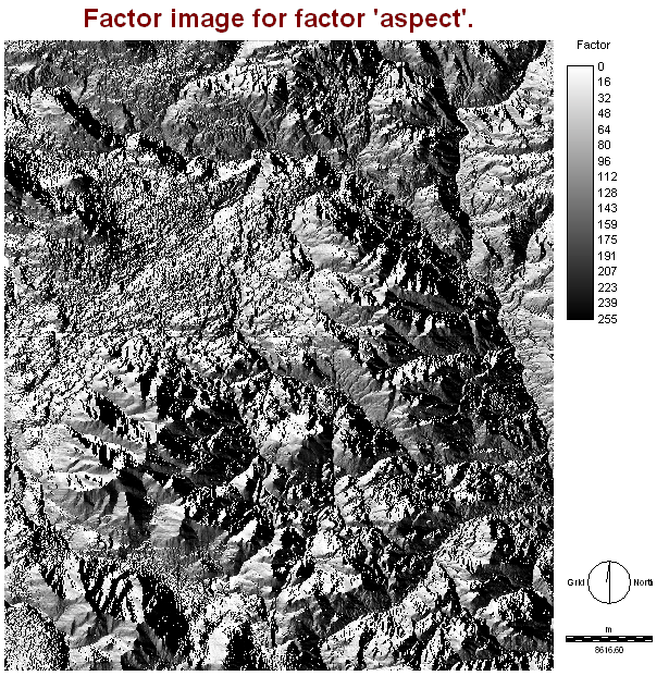 Aspect factor |
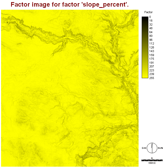 Slope factor |
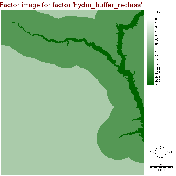
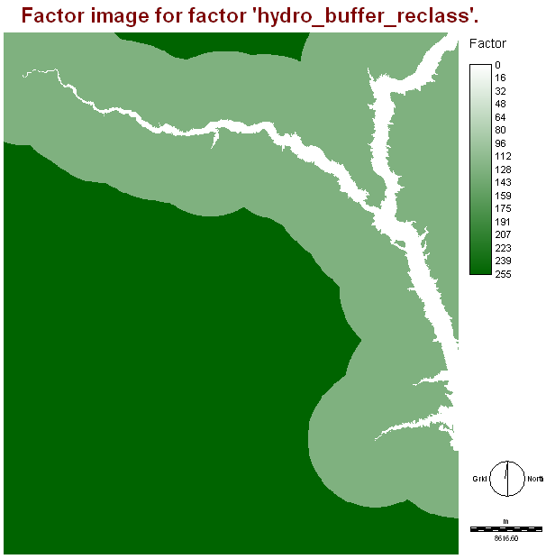 Proximity to river |
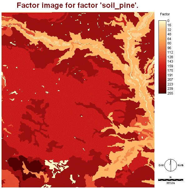 Soil |
Spruce
 Elevation factor |
 Aspect factor |
 Slope factor |
 Proximity to river |
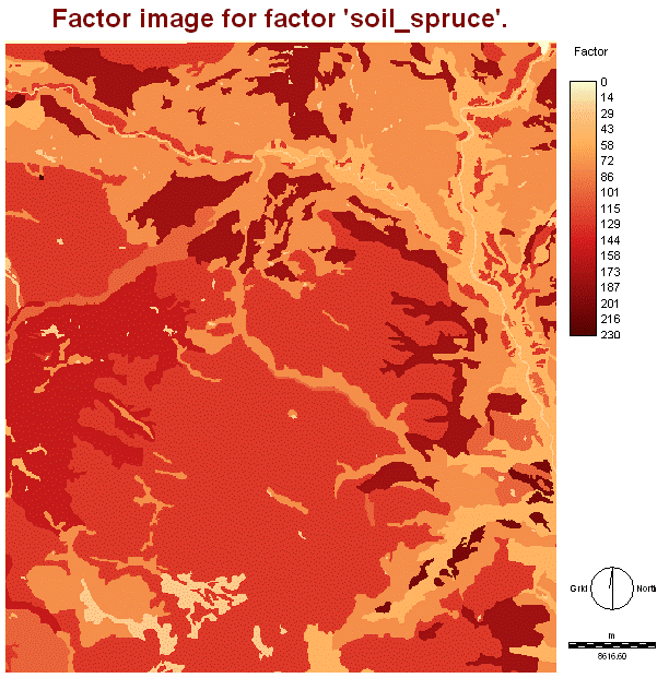 Soil |
The results from the MCE:
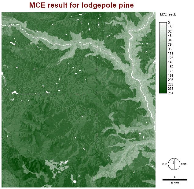 Pine MCE result |
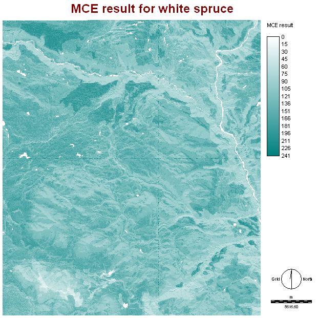 Spruce MCE result |
The results from the MCE were draped with the DEM to provide an alternative perspective.
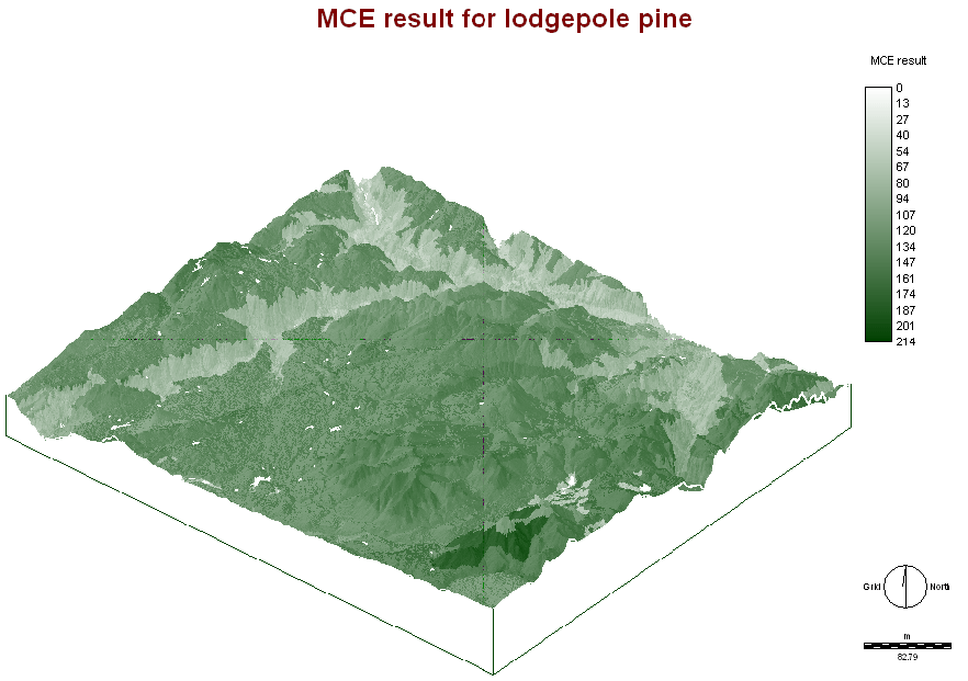 Pine MCE drape |
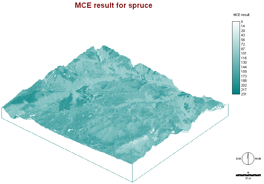 Spruce MCE drape |
The results from the MCE were normalized by dividing each pixel digital number by its maximum. Since the entire cut block is to be replanted with trees (i.e. no area is to be left as bare land), ratios were developed. The darker the output indicates the higher species ratio to be planted. For example, in the lodgepole pine to white spruce ratio, the southwest corner is to be planted at a ratio of ~9:1. In areas of white, there is an inverse, and the other species have the higher ratio. View the other map for an output species ratio.
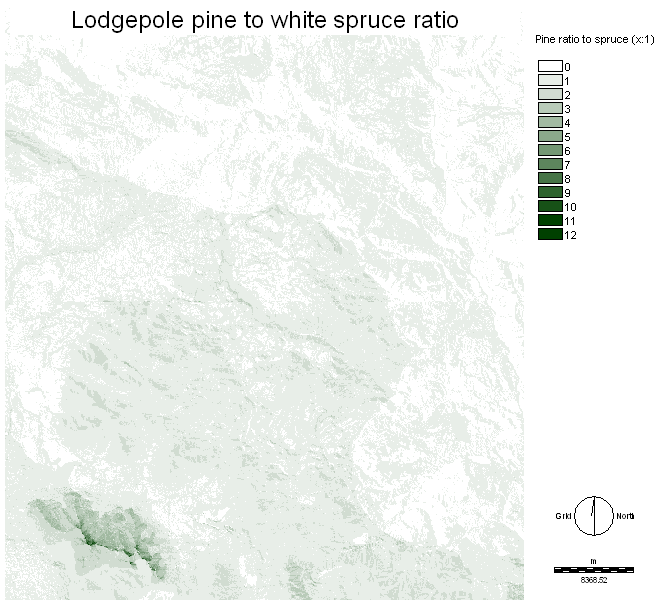 Pine to spruce ratio |
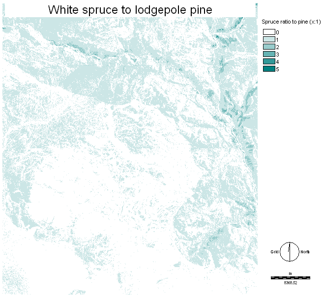 Spruce to pine ratio |
^ top