After all the information and data are being obtained and prepared, now we reach the section of spatial analysis. In this section, different layers for each attribute (derived from last section) would be overlaid to provide a better understanding of the situation and lead us to our destination (modeling the snow avalanche).
|
Introduction
Data
Collection
Methodology
|

|
Analysis Scenario |
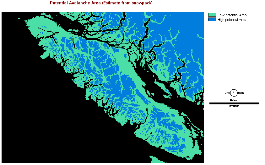
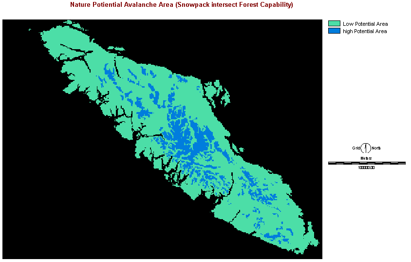
Spatial Analysis Process |
|||||
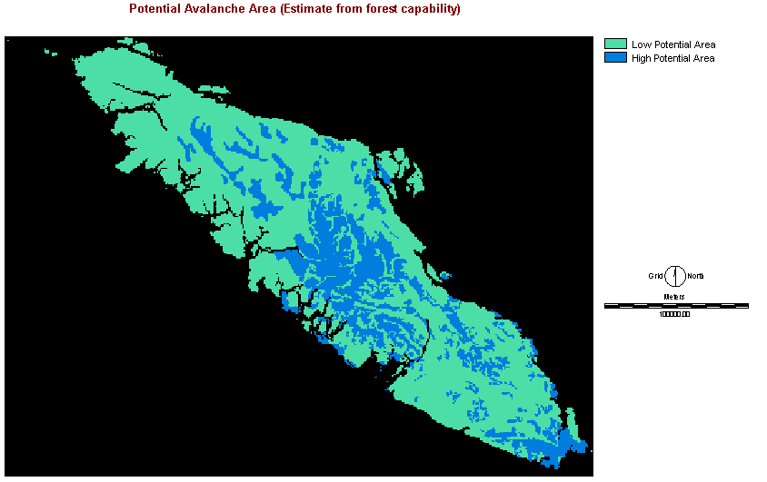
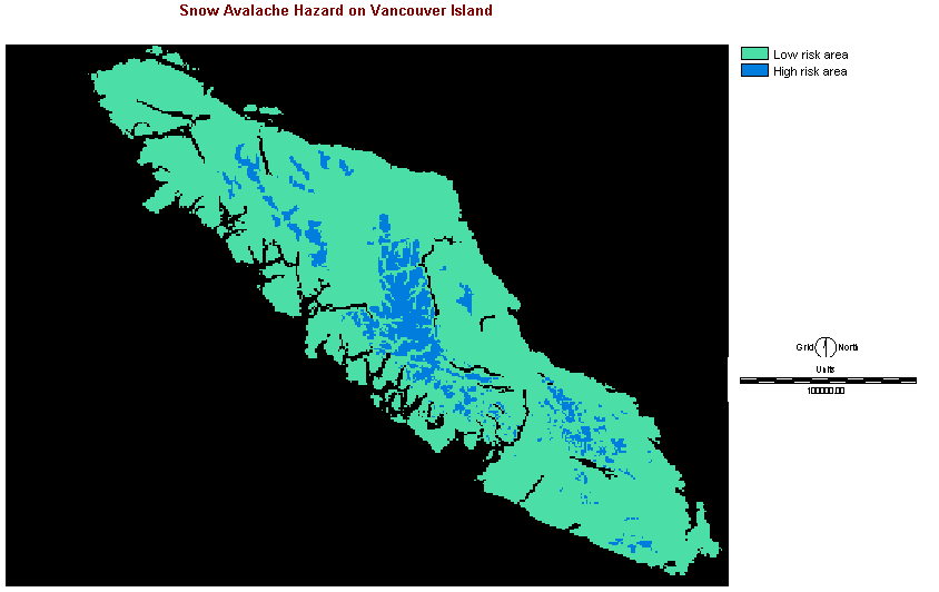
| Natural Potential of Snow Avalanche |


 |
|||||
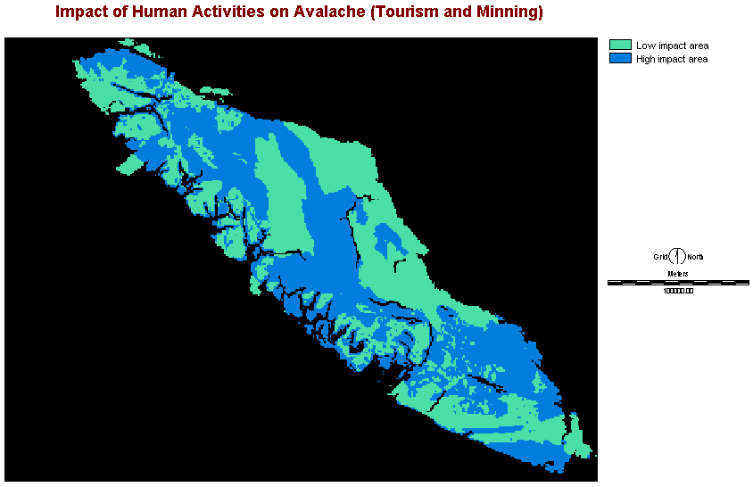
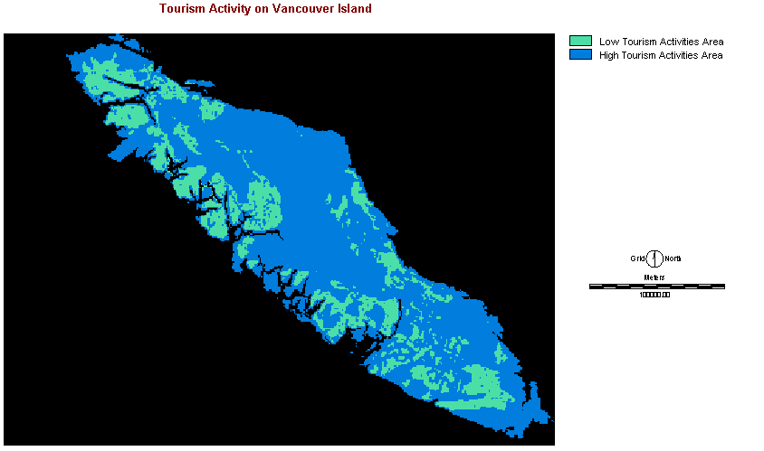
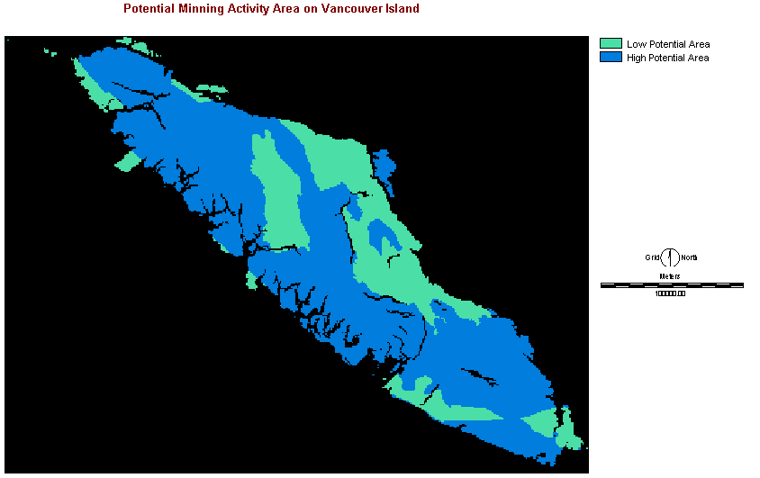
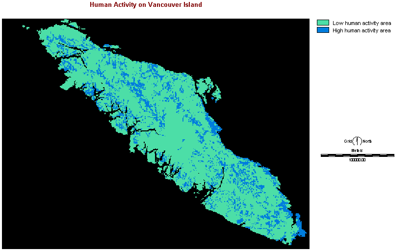
| Human Trigger of Snow Avalanche |
|
|||||
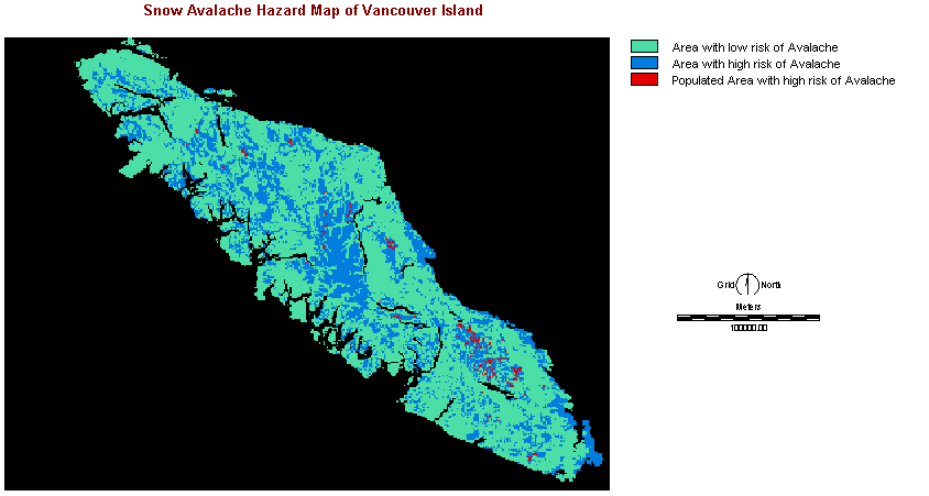
| Snow Avalanche Hazard |
|
|||||
|
Populated
Area with Risk of Snow Avalanche
|
|
|||||
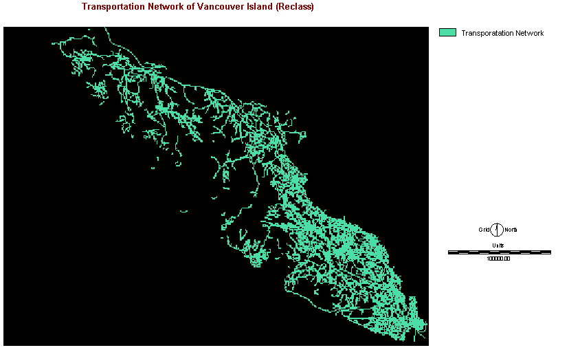
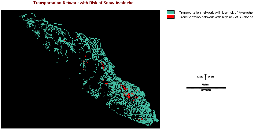
| Transportation Network with Risk of Snow Avalanche |
|