Although
all the data are acquired, they need to be modified to become useable and
meaningful. Also, data layers have to be prepared for spatial analysis. By
overlaying layers, we would be able to reach our destination - modeling the
snow avalanche. This section would explain the detail how the information
and data are being obtained and prepared.
|
Data Required |
Data Preparation and Information Obtain |
|||||||||
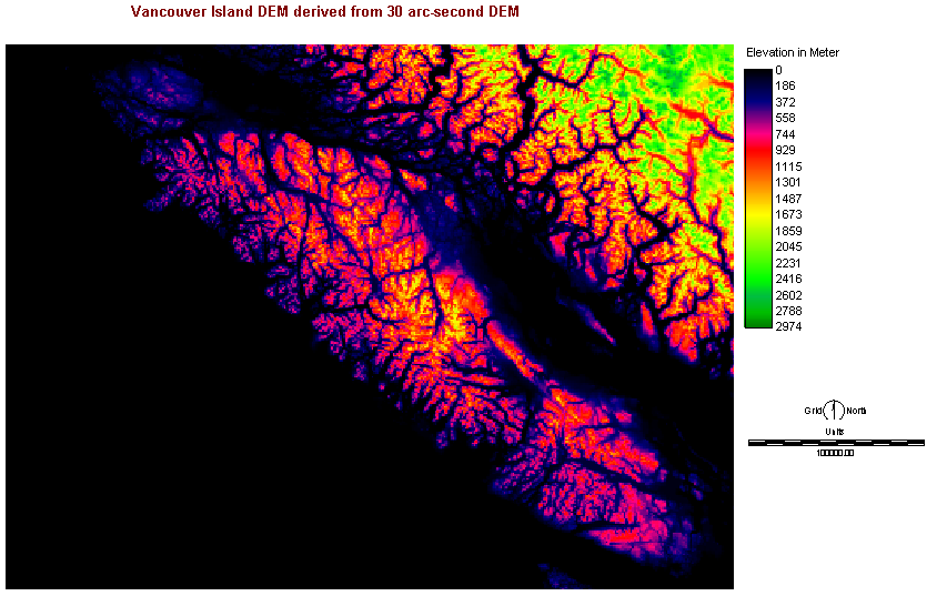
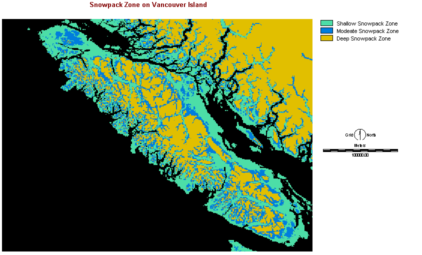
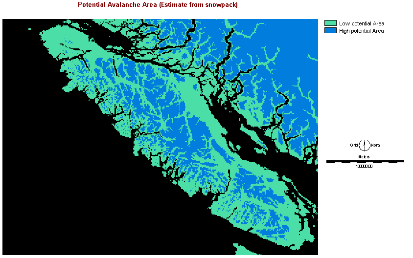
| Snowpack Volume Estimation |

   |
|||||||||
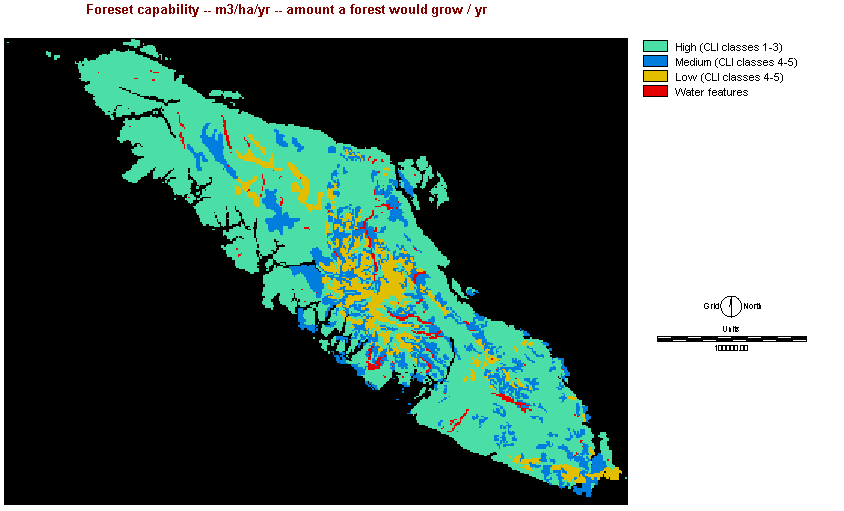
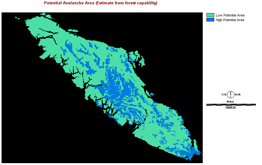
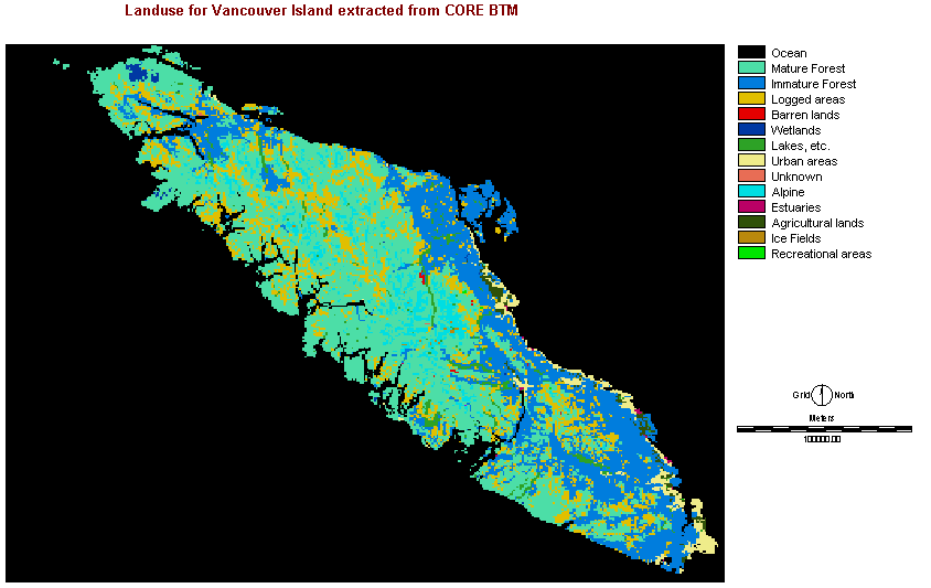
| Vegetation and Forest Cover |


 |
|||||||||
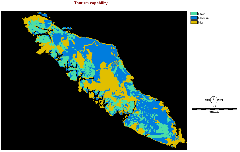
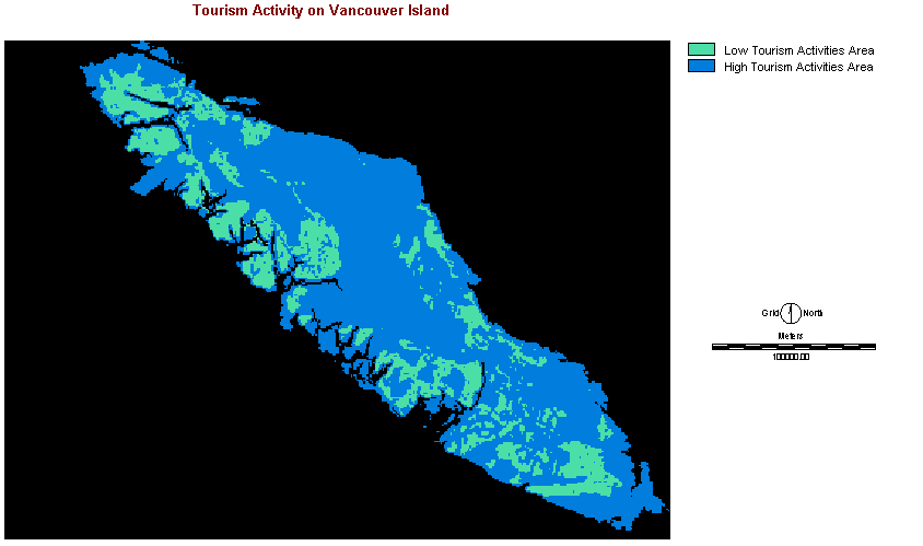
| Tourism |
  |
|||||||||
|
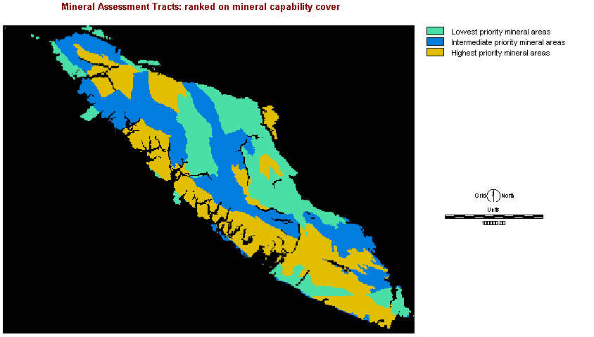
Mining Activity
|
 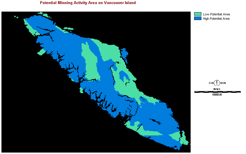 |
|||||||||
| Human Activity Area |
 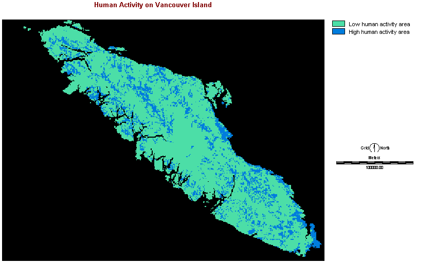

|
|||||||||
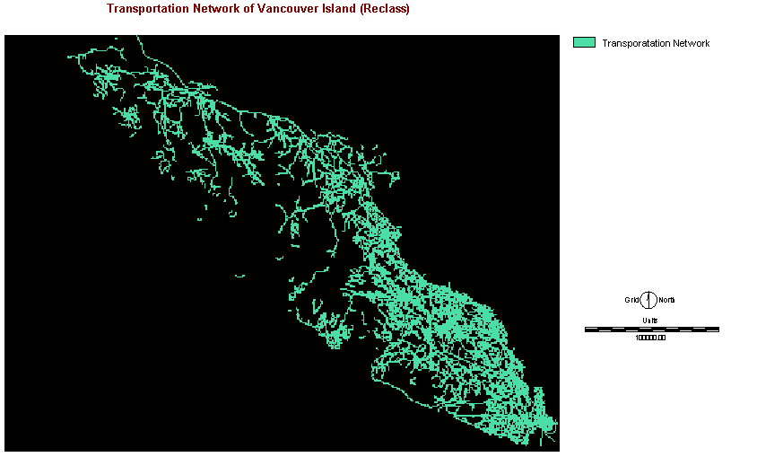
| Transportation Network |
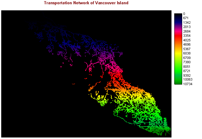 
|