Research Areas
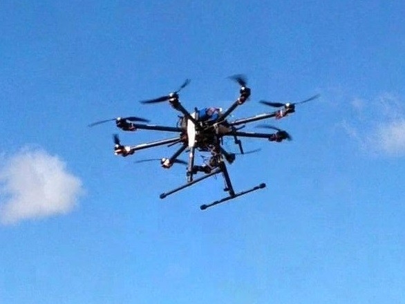
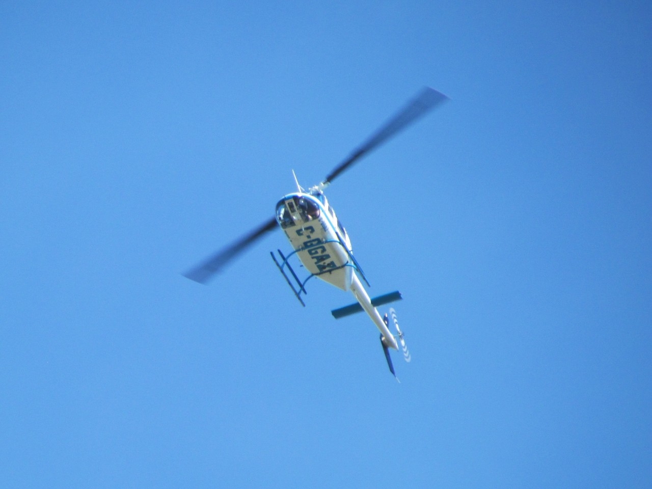
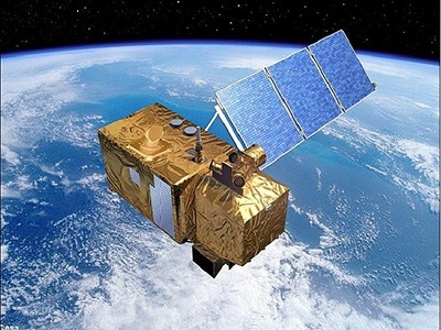
Environmental change has greatly affected different ecosystems and environments (e.g., grasslands, wetlands, farmlands, and coasts) over the past few decades. The Remote Sensing of Environmental Change (ReSEC) Lab investigates global environmental change and its impacts on different ecosystems and environments using remote sensing big data. Specifically, we utilize multi-type remote sensing data (e.g., optical, thermal, Radar, and LiDAR) acquired by a range of platforms (e.g., satellites, airplanes, and unmanned aerial vehicles (UAVs, i.e., drones)) to investigate ecosystem and environmental features (e.g., vegetation health, biodiversity, crop production, and coastal dynamics) and to evaluate their responses to environmental changes.
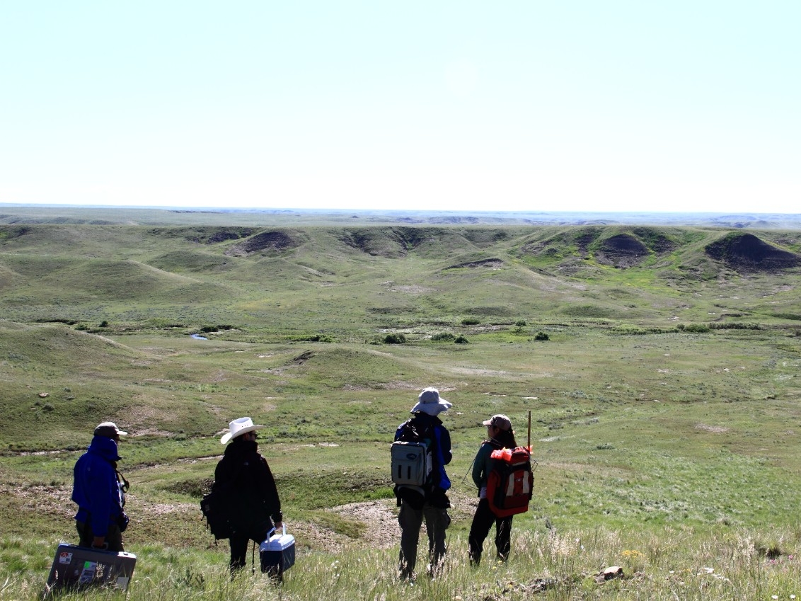
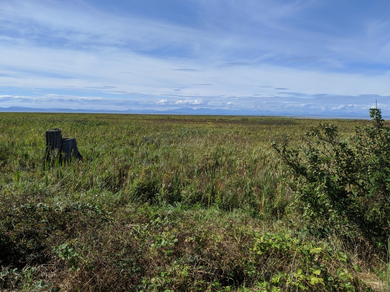
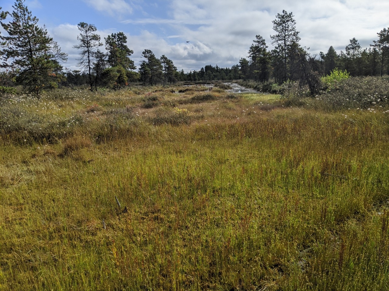
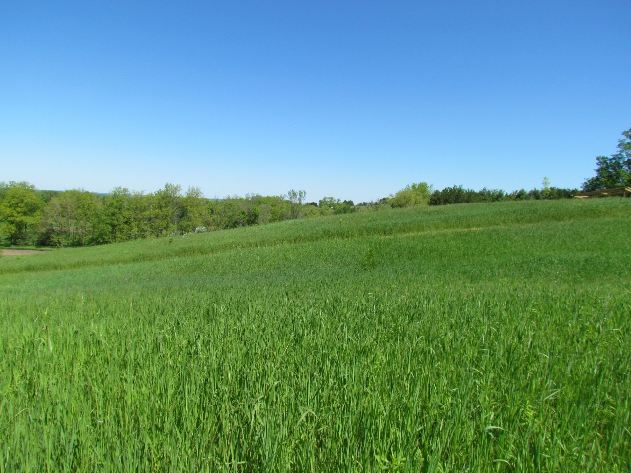
Grassland-wetland Ecosystem
Grasslands and wetlands often coexist in a shared landscape, and grasslands are natural buffers for many wetlands. Such grassland-wetland ecosystems are critical transitions from terrestrial to aquatic environments, providing essential habitats for many flora and fauna species and vital ecosystem services to human society (e.g., grazing, storing flood waters). However, these grassland-wetland ecosystems have been suffering from environmental changes that may cause irreversible loss of ecosystem functions and services. For instance, in an arid climate the human drainage of wetlands may result in the drying out of wetlands and their conversions to grasslands; terrestrial grass and shrub species have invaded many wetlands, causing the degradation of wetland habitats; extreme events (e.g., fires, droughts) may cause shifts in vegetation community structure and thus affect ecosystem health. The long-term goal of this research is to understand the ecological processes in grassland-wetland ecosystems and the impacts of environmental change on ecosystem services using remote sensing big data. The underlying mechanisms and ecosystem resilience to environmental disturbances will be explored to support more informed ecosystem management.
References
Bing Lu, Yuhong He. 2019. Leaf Area Index Estimation in a Heterogeneous Grassland using Optical, SAR, and DEM Data. Canadian Journal of Remote Sensing, 45, 618-633
Bing Lu, Yuhong He. 2017. Species Classification using Unmanned Aerial Vehicle (UAV)-acquired High Spatial Resolution Imagery in a Heterogeneous Grassland. ISPRS Journal of Photogrammetry and Remote Sensing, 128:73-85.
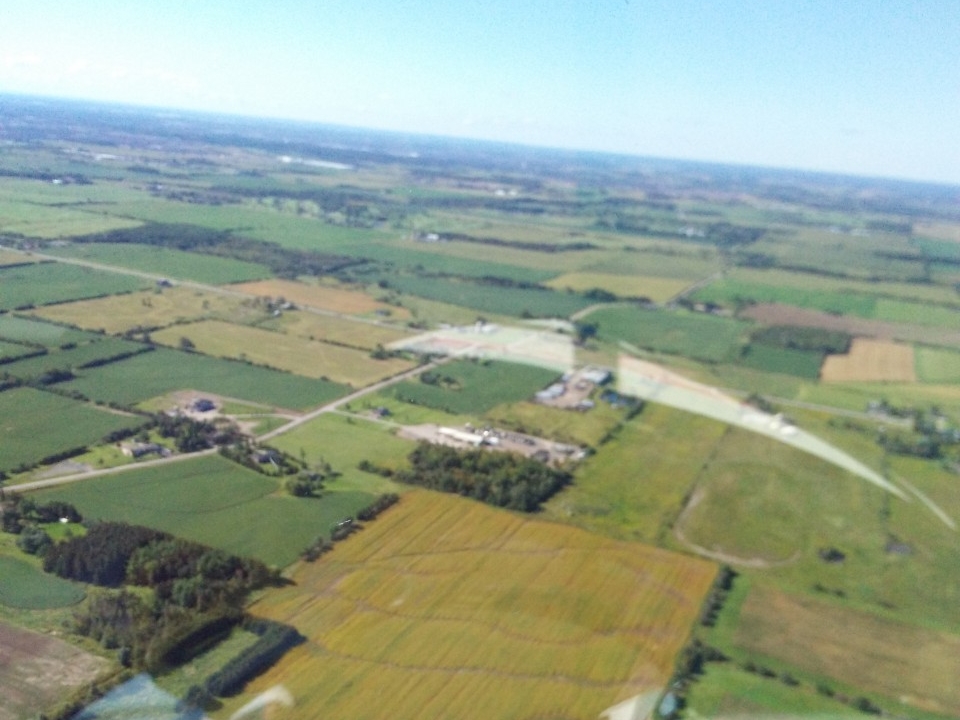
Precision Agriculture
The global agricultural sector is facing increasing challenges posed by a range of stressors, including a rapidly growing population, the depletion of natural resources, environmental pollution, crop diseases, and climate change. Precision agriculture is a promising approach to address these challenges through improving farming practices, e.g., adaptive inputs (e.g., water and fertilizer), ensured outputs (e.g., crop yield and biomass), and reduced environmental impacts. Remote sensing is capable of estimating crop biochemical and biophysical properties, evaluating crop nutrient and stress status, detecting weeds and diseases, and investigating soil characteristics, which thus provides valuable information for site-specific managements. Our research focuses on exploring potential of remote sensing for precision agriculture and promoting more sustainable and profitable farming practices.

References
Bing Lu, Phuong D. Dao, Jiangui Liu, Yuhong He, Jiali Shang. 2020. Recent advances of hyperspectral imaging technology and applications in agriculture. Remote Sensing 12(16): 1-44.
Bing Lu, Yuhong He, Hugh Liu. 2018. Mapping Vegetation Biophysical and Biochemical Properties using Unmanned Aerial Vehicles-acquired Imagery. International Journal of Remote Sensing, 39:15-16, 5265-5287.
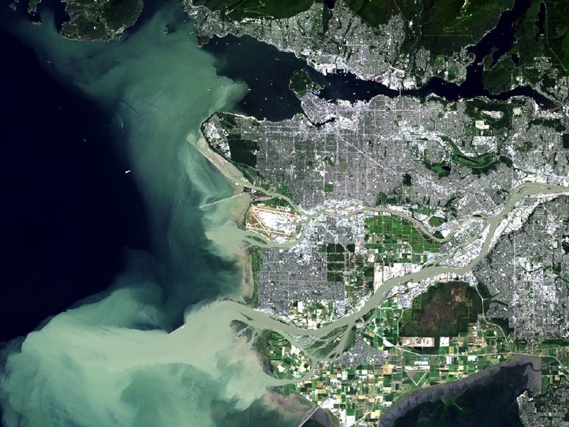
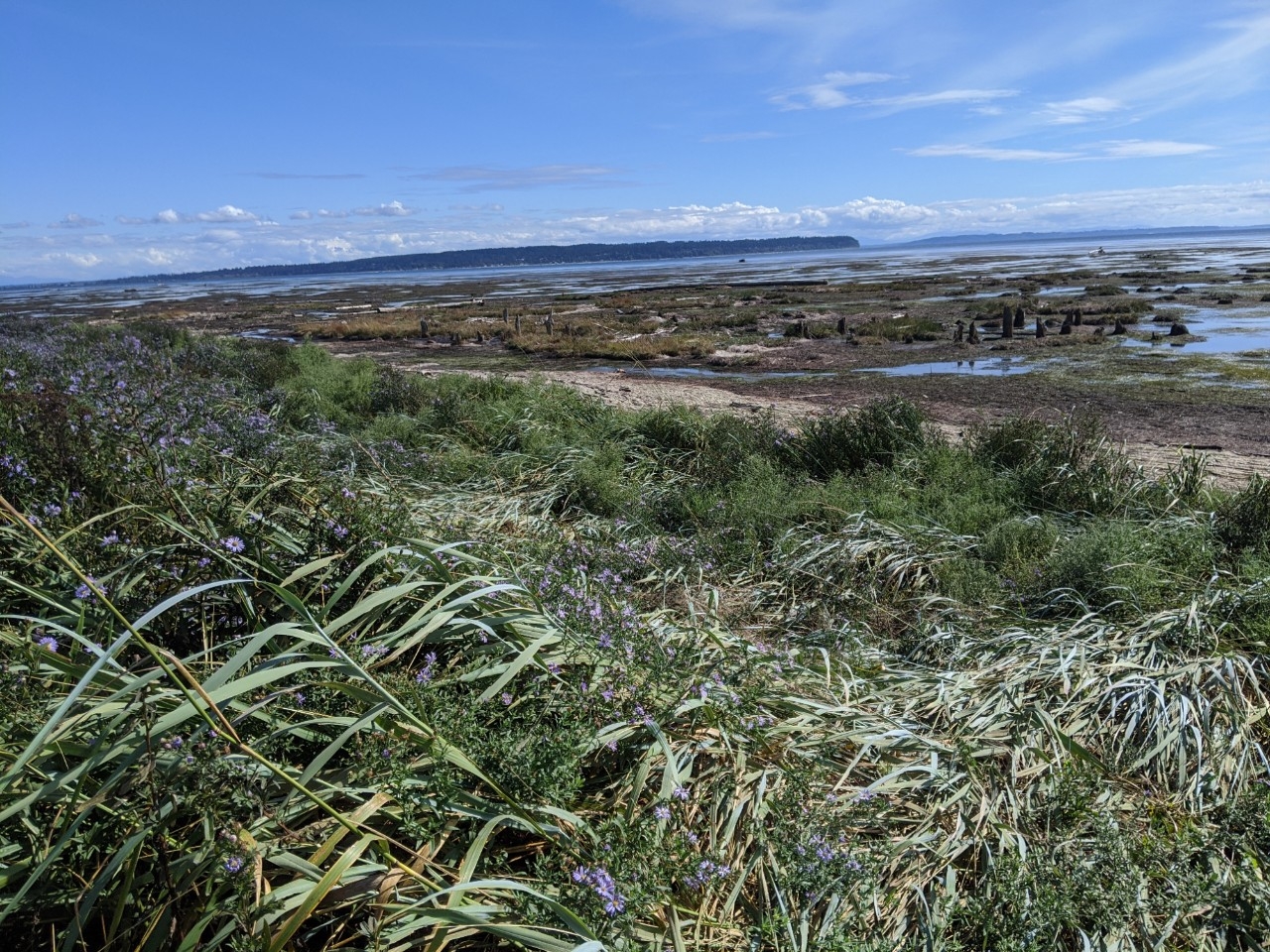
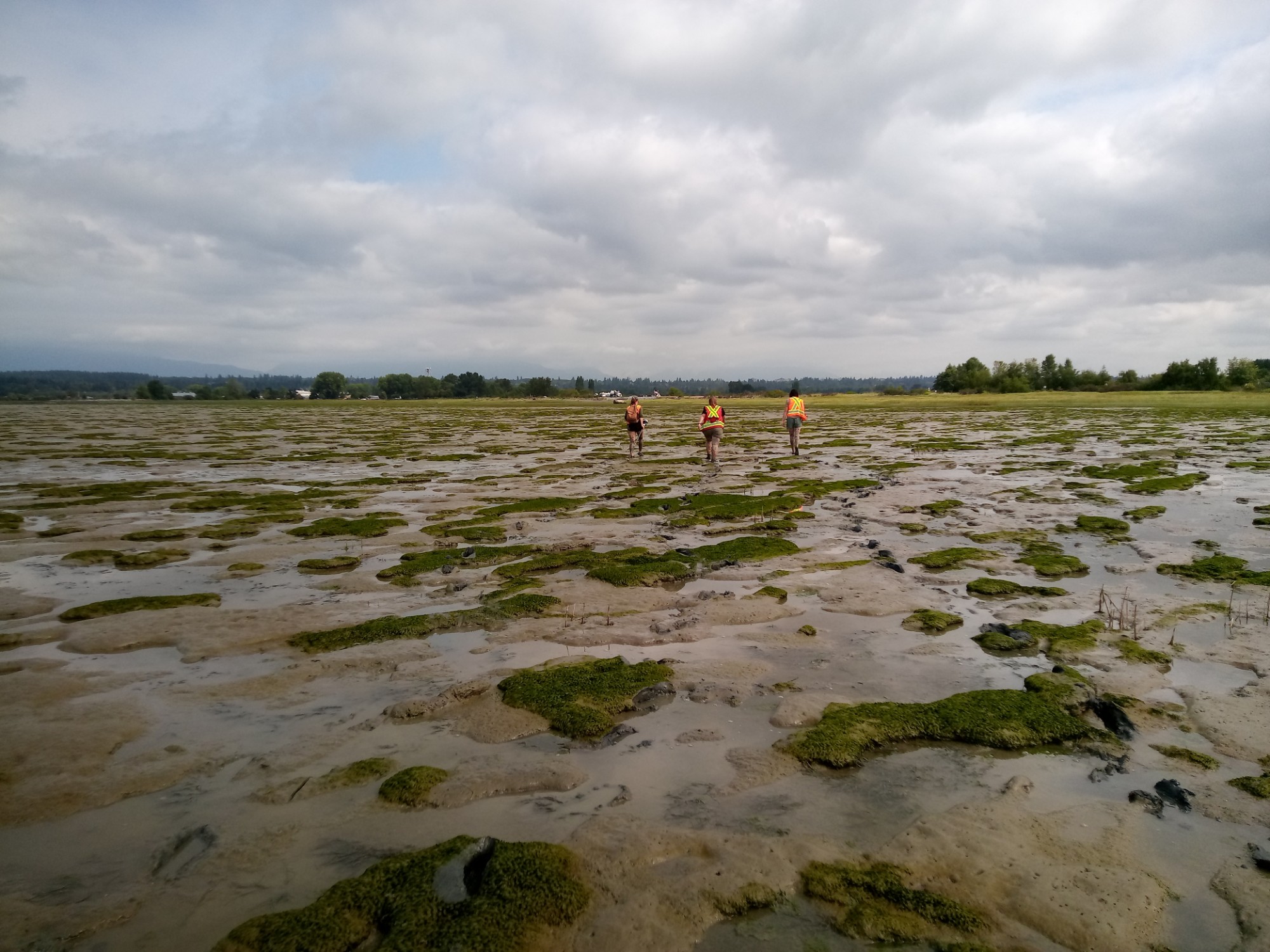
Estuarine and Coastal Dynamics
Environmental change is bringing tremendous challenges, including gradual changes (e.g., sea level rise and temperature) and extreme events (e.g., storms and droughts), to coastal regions, which highly affect the local ecosystems and physical environments. For instance, storms and changes in climate patterns may cause destruction of coastal wetlands (e.g., marsh die-off), habitat degradation, and shifts in species composition. Remote sensing is a powerful tool for mapping these dynamics at different spatial and temporal scales, e.g., spatially from species to regional scales and temporally from days to decades. Our group attempts to monitor these dynamics using remote sensing big data, to better understand ecological and geomorphological processes involved, and to support the conservation of coastal environments.
References
Bing Lu, Xuezhong Jiang. 2013. Reclamation Impacts on the Evolution of the Tidal Flat at Chongming Eastern Beach in Changjiang Estuary. Journal of Remote Sensing, 17(2):335-349.
Xuezhong Jiang, Bing Lu, Yuhong He. 2013. Response of the Turbidity Maximum Zone to Fluctuations of Sediment Discharge from River to Estuary in the Changjiang Estuary (China). Estuarine, Coastal and Shelf Science, 131:24-30.
Remote Sensing Big Data
Remote sensing big data that include multi-type images (e.g., optical, LiDAR, Radar, and thermal) acquired by different platforms (e.g., satellites, airplanes, and UAVs) have become more widely available in recent years, offering unprecedented opportunities for observing ecosystem features and investigating associated environmental factors at different spatio-temporal scales. For instance, satellites are capable of capturing images covering a large area with spatial resolution ranging from meters to kilometers, while UAVs can be used for mapping a small area with finer image spatial resolution from centimeters to decimeters. These different data are all valuable for monitoring various ecosystem features. The remote sensing big data also brings challenges in data modeling and analysis. Our research involves fusing multi-type and multi-platform remote sensing data, integrating with other source data (e.g., station-measured environmental data, field surveys), and extracting the most useful information for ecosystem monitoring and management.
References
Bing Lu, Yuhong He, Phuong D. Dao. 2019. Comparing the Performance of Multispectral and Hyperspectral Images for Estimating Vegetation Properties. IEEE Journal of Selected Topics in Applied Earth Observations and Remote Sensing. 12(6): 1784-1797
Bing Lu, Yuhong He. 2018. Optimal Spatial Resolution of Unmanned Aerial Vehicle (UAV)-acquired Imagery for Species Classification in a Heterogeneous Grassland Ecosystem. GIScience and Remote Sensing, 55(2): 205-220.
F T I