Teaching
GEOG 253 Introduction to Remote Sensing
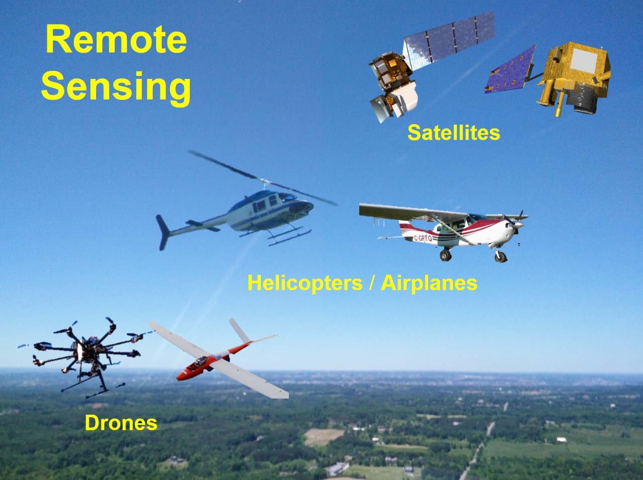
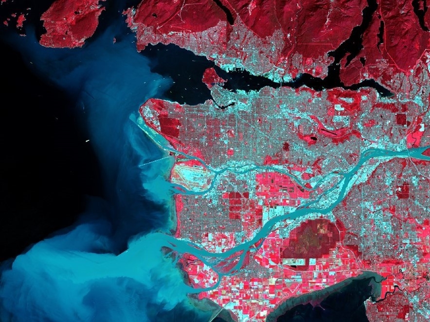
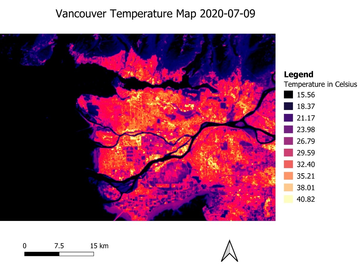
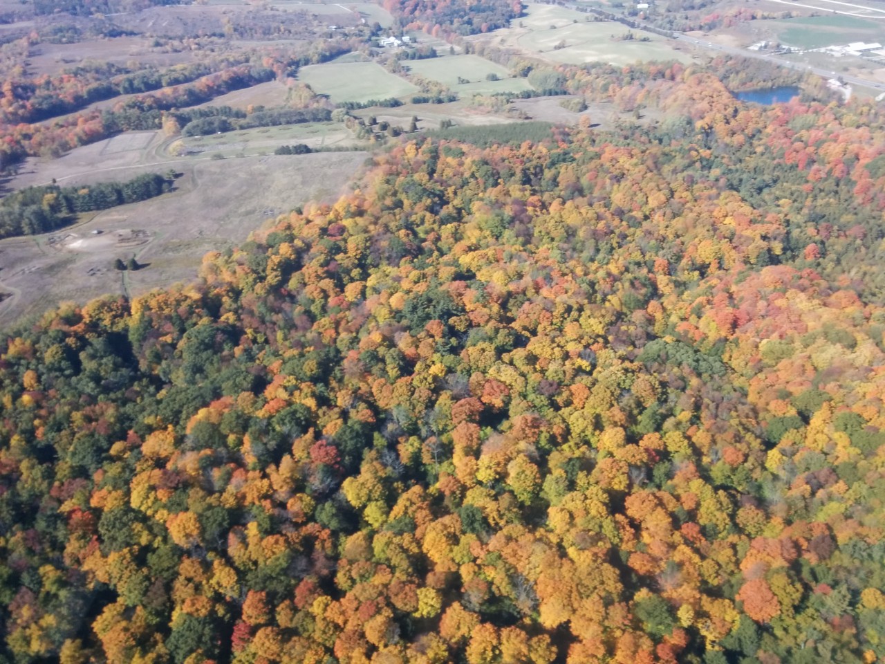
GEOG 253 is the introductory-level course of the remote sensing stream of courses offered by the Department of Geography (the upper-level course is GEOG 353 - Advanced Remote Sensing and the final course is GEOG 453 - Theoretical and Applied Remote Sensing). This introductory course emphasizes principles of remote sensing and the use of remote sensing data for monitoring land resources and environmental features. Topics include surface-energy interactions, remote sensing systems, image interpretation, different types of remote sensing (e.g., optical, thermal, and active), and the application of remote sensing for examining vegetation, water, soil, and urban features. GEOG 253 provides necessary background for GEOG 353 that focuses on digital image analysis and for GEOG 453 in which research projects will be completed. The course will include lectures that cover foundational concepts and practical lab sessions where students will work on the interpretation of remote sensing images. One 2-hour lecture and one 2-hour lab tutorial will be delivered each week. Upon completion of this course, students will have the foundational knowledge of remote sensing and understand applications of remote sensing in different environments.
____________________________________________________________________
GEOG353 Advanced Remote Sensing
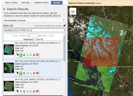
GEOG 353 is the upper-level course of the remote sensing stream of courses offered by the Department of Geography (the introductory-level course is GEOG 253 - Introduction to Remote Sensing and the final course is GEOG 453 - Theoretical and Applied Remote Sensing). Compared to GEOG 253 that provides an overview of remote sensing and training on preliminary image interpretation, this course focuses on computer processing and analysis of images, and advanced applications of remote sensing for monitoring physical and human environments. Topics in this course include image preprocessing, image enhancement and transformation, image classification and change detection, unmanned aerial vehicle (UAV)-based remote sensing, and integration of remote sensing and Geographic Information System (GIS). Remote sensing imagery is an essential data source and GIS is a powerful geo-analytical tool, with their integration being at the center of a larger trend toward the fusion of different geo-spatial data and technologies, and thus will be thoroughly discussed in this course. GEOG 353 will include lectures that cover foundational concepts and practical lab sessions where students will work on the acquisition and processing of remote sensing images. Upon completion of this course, students should have the technical expertise to process and analyze remote sensing data and pursue more advanced work in remote sensing applications.
____________________________________________________________________
GEOG 453 Theoretical and Applied Remote Sensing
(GEOG 653 Remote Sensing of Environment)
GEOG 453 is the final course of the remote sensing stream of courses offered by the Department of Geography. The introductory-level course is GEOG 253 - Introduction to Remote Sensing - that provides students with theoretical background and the upper-level course is GEOG 353 - Advanced Remote Sensing - that focuses on training students to acquire imagery processing and analysis skills. GEOG 453 is a project-orientated course, focusing on using remote sensing techniques and a variety of analytical tools (e.g., GIS and statistics) for environmental monitoring or resource management. A list of project topics will be provided, and students will work in teams on real-world remote sensing projects that they are interested in. Each team will perform a literature review, identify a problem, write a research proposal, collect and analyze data, present results, and submit a report. Upon completion of this course, students should have the necessary knowledge and technique skills to work on remote sensing-related projects and address practical problems in real world.
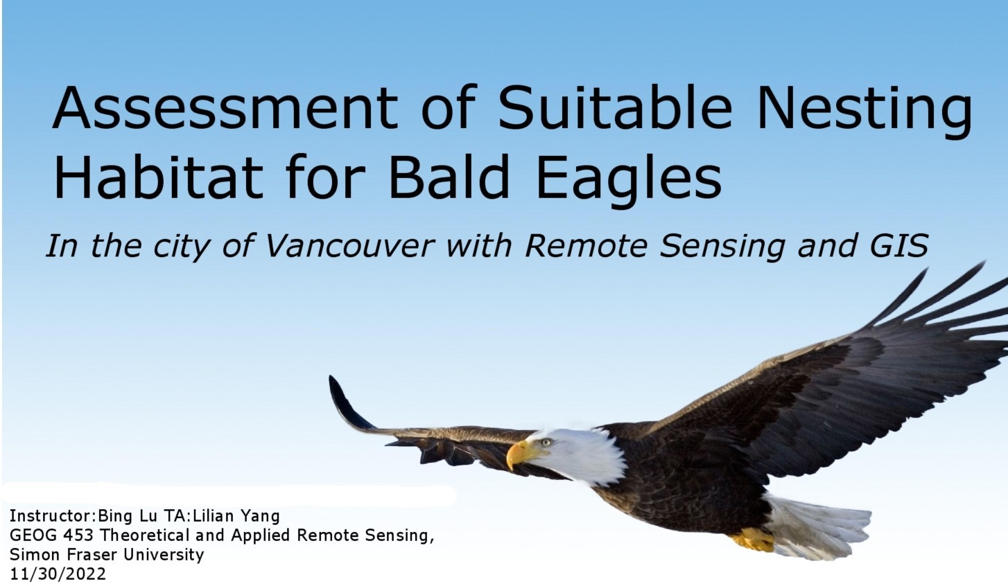
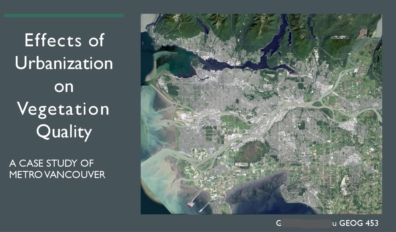
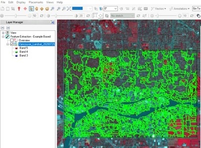
(Projects in Previous Semesters)
____________________________________________________________________
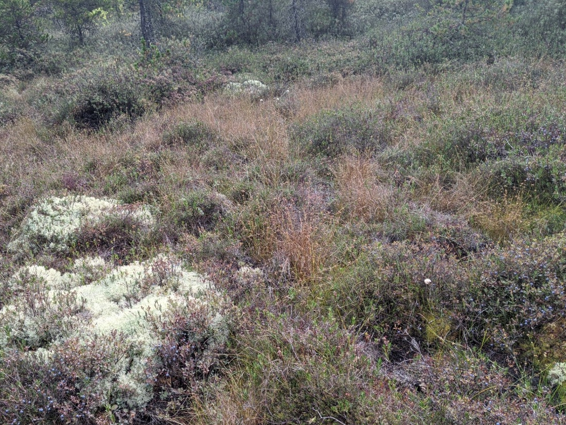
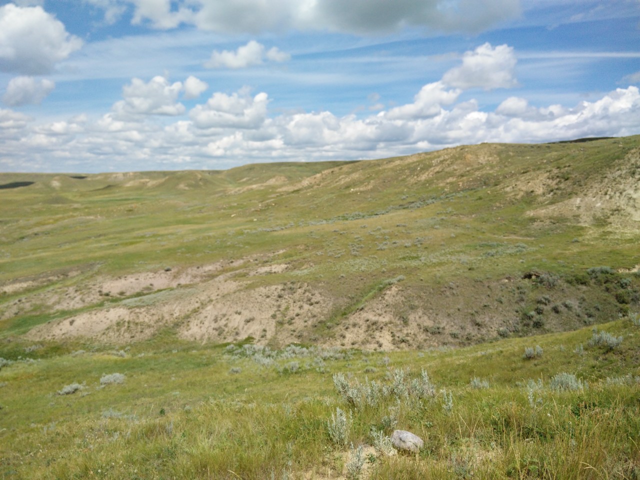
GEOG 215 The Biosphere
The Biosphere is life on Earth - from biomes, regions determined by temperature and precipitation regimes, such as tropical forests and deserts, to soil microbes, plants and herbivores. In this course, we will examine the complexities of elements and interactions, both physical and biological, that create and maintain ecosystems. We will also explore applying ecological concepts to the key challenges of our times, such as climate change, sustainability, ecological restoration and conservation of biodiversity.
F T I