
Some of our projects
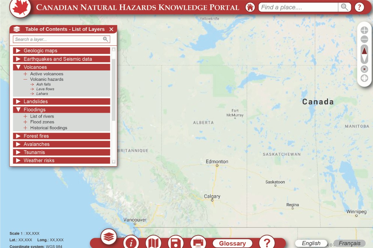
 Natural Hazards Data
We are leading the development of a "one stop shop" for natural hazards information. The aim is to securely aggregate, curate and make readily searchable data for the public and government decision makers to enhance preparedness and response.
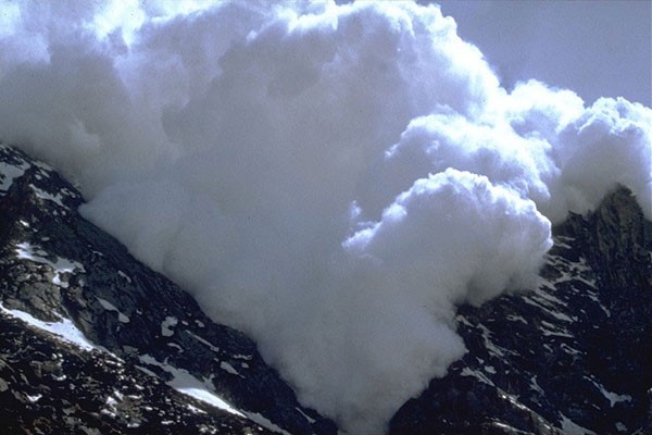
Seasonal avalanche hazard forecasting
While the effect of large-scale climate patterns on winter temperature and precipitation in Western Canada is relatively well understood, little is known regarding the link between climate and avalanche hazard.
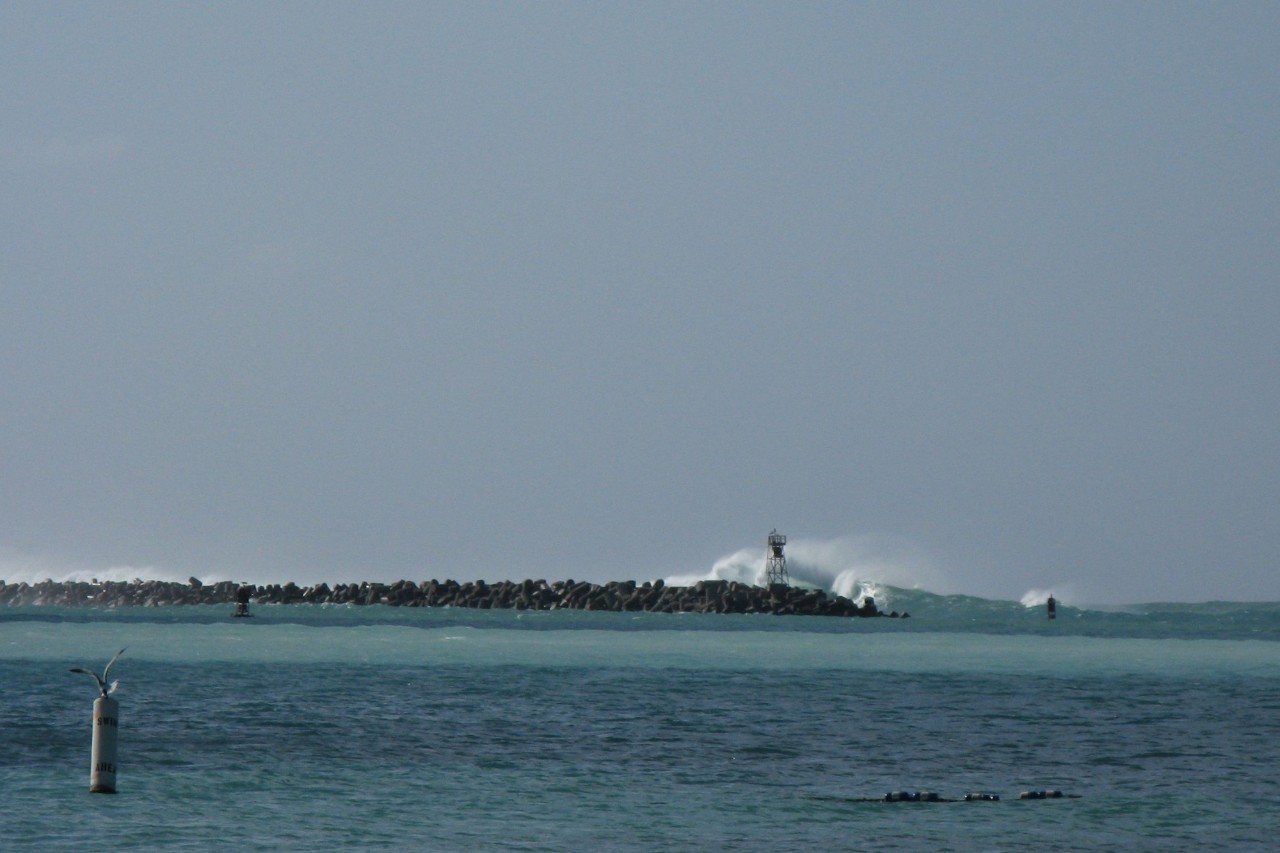
Risks to Coastal Aquifers from Storm Surge and Sea Level Rise
Freshwater supplies in coastal aquifers may become contaminated by seawater due to rapid inundation from storm surge or graduate inundation due to sea level rise. Water management in coastal areas should include emergency response measures as well as long-term planning.

Continuous Monitoring
Working with private and public sector partners, we are leading the expansion of continuous monitoring of Canadian volcanoes and unstable ice-clad mountains - these include Mt. Meager, Mt. Currie and Mt. Cayley.
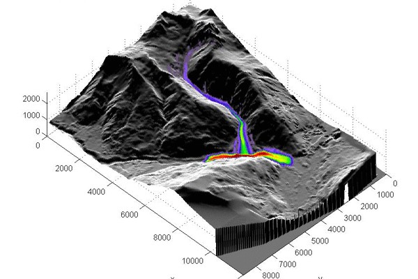
Climate change & the stability of glaciated volcanoes
During summer 2010, snow and ice melt at Mt. Meager caused the largest historical landslide in Canada. Using remote, field and numerical techniques, we are characterizing landslides and glacial activity as well as their influence on the deeper volcanic system.
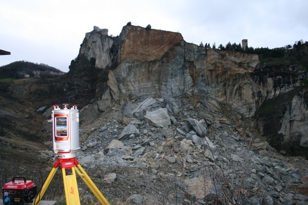
Damage and rock slope stability
The evolution and deformation of rock slopes results in the formation of features referred to as “damage”, the investigation of which provide insights on the mechanisms and processes underlying instability phenomena. Using an integrated remote sensing-numerical modelling approach, we aim to enhance our understanding of the factors and mechanisms that affect the formation and evolution of slope damage, and subsequently the relation between damage and slope stability.

Glaciovolcanism
Field based volcanology studies focused on interactions between volcanism and ice sheets to understand glaciovolcanic processes and to reconstruct the Pleistocene Cordilleran ice-sheet through space and time.
Glacier dynamics
When a glacier surges it can increase in velocity by orders of magnitude above it's regular velocities. Surges only happen in some mountain ranges, but why? Our work is to investigate whether or not surging glaciers (and their distribution) can be explained by the underlying quality of the geological substrate.
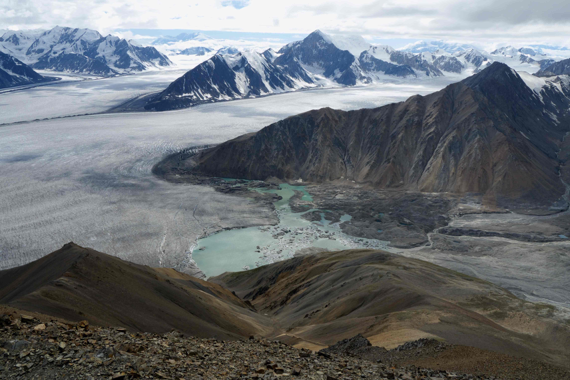
Glacier outburst floods
Geophysical field measurements, numerical modelling and remote sensing are being used to better understand the initiation and propagation of outburst floods from ice-dammed lakes.