Data
sets used in the study: Data
sets used in the study: |
|
B.C.
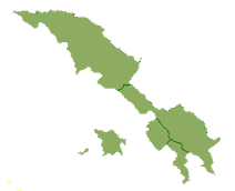
Provincial Park Boundaries:
The Direct Sampling Method uses the boundaries of current
parks and managed reserves. Both National and Provincial park
boundaries are required to ensure sufficiently dense sampling.
These data were obtained from the B.C. government website.
|
|
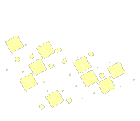
Random
Sampling Plots:
These plots were obtained from previous researcher
who used them is past studies (Gurd and Nudds, 1999, Wiersma
and Nudds, 2001). These plots provide the sampling cells for
the Random Sampling Method. These plots are based on the extent
of the mammal province being considered.
|
|
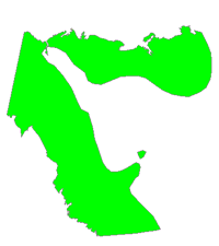
Historic
Species Range Maps:
Derived from historical observations these maps
estimate the extent/range of species before human settlement.
The accuracy of the maps cannot be known, however they are a
standard tool when trying to measure changes of biodiversity
over time. These maps were digitized from ‘The Mammals
of Canada’ (Banfield, 1974) by previous researchers.
|
 Additional
Notes: Additional
Notes:
The data was provided in ESRI .shp format. However, data corruption
issues required all of the data to be converted to ArcInfo coverage
format. Metadata was added to the coverages describing the source
of the data. Finally, all of the coverages were projected to Albers
for consistency.
|