Data
Where did the data come from?
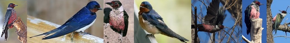
The data used for analyzing Barn Swallow abundance as well as insect abundance was taken from various sources (see below). The first source of data was given by the client, GPS points and 11 paper maps for specific agricultural sites in Metro Vancouver were provided from which analysis had to be done. The second source of data included Metro Vancouver ecosystem analysis. This data had classifications of different ecosystem around Metro Vancouver. As well as data on different forest types and vegetation cover. Furthermore, some data was taken from the Simon Fraser University database such as parks and pests infestation.
| Asset | Asset Type | Purpose | Source | Format | Description |
|---|---|---|---|---|---|
| GVRD municipality polygons | GIS Data | Municipality Borders | SFU's SIS Data Warehouse | Esri Shapefile (*.shp) | Shapefile containing polygons for each municipality. Used to show livestock abundance in municipalities. |
| Abbotsford Livestock data | Agriculture Overview | Livestock data 1986-2006 | Ministry of Agriculture, British Columbia | Published Document (*.pdf) | Used to collect data for Livestock from 1986-2006, specifically chickens, pigs, cows, horses, and sheep. Added manually to municipality data. |
| Delta Livestock data | Agriculture Overview | Livestock data 1986-2006 | Ministry of Agriculture, British Columbia | Published Document (*.pdf) | Used to collect data for Livestock from 1986-2006, specifically chickens, pigs, cows, horses, and sheep. Added manually to municipality data. |
| Langley Livestock data | Agriculture Overview | Livestock data 1986-2006 | Ministry of Agriculture, British Columbia | Published Document (*.pdf) | Used to collect data for Livestock from 1986-2006, specifically chickens, pigs, cows, horses, and sheep. Added manually to municipality data. |
| Maple Ridge Livestock data | Agriculture Overview | Livestock data 1986-2006 | Ministry of Agriculture, British Columbia | Published Document (*.pdf) | Used to collect data for Livestock from 1986-2006, specifically chickens, pigs, cows, horses, and sheep. Added manually to municipality data. |
| Pitt Meadows Livestock data | Agriculture Overview | Livestock data 1986-2006 | Ministry of Agriculture, British Columbia | Published Document (*.pdf) | Used to collect data for Livestock from 1986-2006, specifically chickens, pigs, cows, horses, and sheep. Added manually to municipality data. |
| Richmond Livestock data | Agriculture Overview | Livestock data 1986-2006 | Ministry of Agriculture, British Columbia | Published Document (*.pdf) | Used to collect data for Livestock from 1986-2006, specifically chickens, pigs, cows, horses, and sheep. Added manually to municipality data. |
| Surrey Livestock data | Agriculture Overview | Livestock data 1986-2006 | Ministry of Agriculture, British Columbia | Published Document (*.pdf) | Used to collect data for Livestock from 1986-2006, specifically chickens, pigs, cows, horses, and sheep. Added manually to municipality data. |
| Metro Vancouver Land Cover Classification | GIS Data | Land Use Classification | Michael Coombes | Esri Shapefile (*.shp) | Polygons showing the classification of every 5m x 5m area in the Metro Vancouver district. Data is then reclassified into urban mix polygons for nesting sites and into insect abundance categories. |