Background
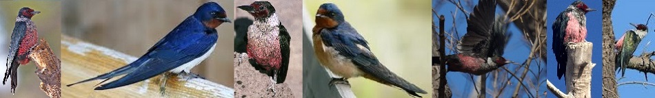
About Lewis' Woodpeckers
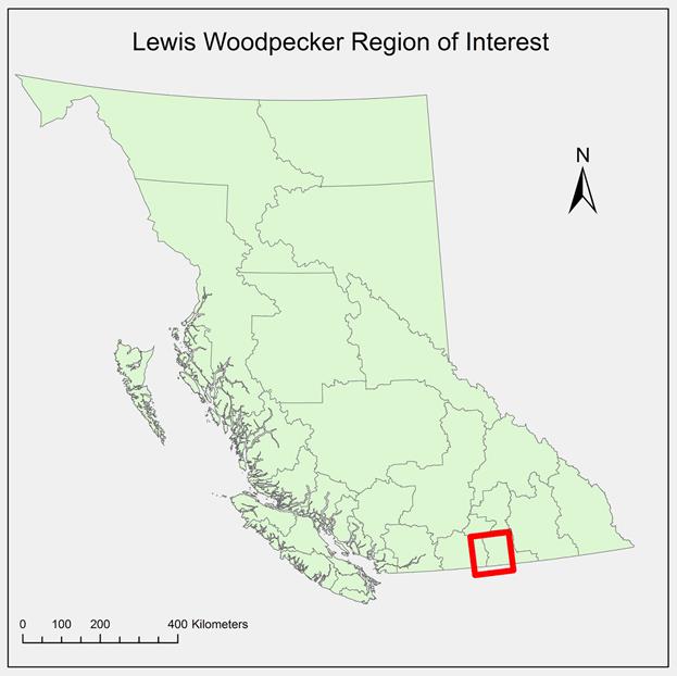
The research area reaches as far as the Canada-U.S. border to the south, Penticton to the west, Gladstone Provincial Park to the east, and Myra-Bellevue Provincial Park to the north (see Figure 1). Lauren Macfarland, an MSc of Biology at Simon Fraser University, found that possible reasons for Lewis's Woodpecker population decline may be due to competitors in the area and habitat loss. The specific habitat types that were burned forests, live ponderosa pine, and riparian cottonwood. The competitors in the region include the European Starling, the main competitor, as well as American Kestrels and Northern Flickers. As such, our clients requested various maps that involve these two areas of concern and calculate habitat use around the nests and of the general landscape. Lauren had provided spreadsheets containing the locations and descriptions of Woodpecker nests, competitor nests, and foraging sites.
Objectives
The client requested six different deliverables: 1. Average Distance Travelled 2. Range Maps 3. Distance to Water and Urban Areas 4. Cavity Availability 5. Wildfires 6. Pine Beetles
Average Distance Travelled. This map is about the average distance travelled by each Woodpecker to its foraging locations. This includes average distance travelled overall by habitat type.
Range Maps. The area used by each nest location.
Distance to Water and Urban Areas. The distance from each nest to water and urban areas.
Cavity Availability. The ratio of number of competitors to number of cavities. One ratio based on all competitors, and one ratio based on just European Starlings.
Historical Fires. Map of the region with information about historical fires.
Mountain Pine Beetles. Quantify and characterize the extent of pine-infested forest.