Data
Where did the data come from?
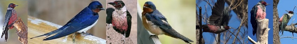
The data used for this project included Excel spreadsheets and ESRI shapefiles. The Excel spreadsheets were supplied by the clients, which contained the coordinates of the Lewis's Woodpecker nest locations, competitor locations, and foraging sites. Some of the nest locations did not have foraging sites linked to them. As such, they were excluded from analyses that required the foraging spreadsheet. The shapefiles were obtained from the DataBC Catalogue from various years. The land use file was produced in 2011 while the wildfire and pine beetle files were taken from datasets that are produced every year (1990-2013). Because these shapefiles had many irrelevant attributes for our analysis, many were taken out to simplify the attribute tables of these files.