Earthquake Early Warning Systems Modeling for North Vancouver
A Geography 355 Final Project by Tom McKay
Overview
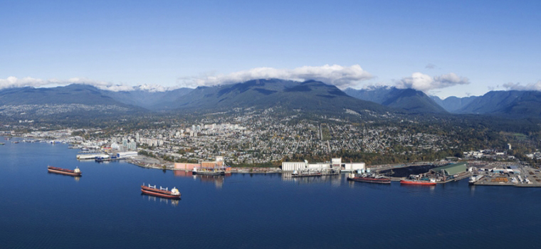
This website was produced as a final project for Dr. Nadine Schuurman's Geography 355 class at Simon Fraser University. The project employs the use of GIS software to perform a multi-criteria analysis in North Vancouver to determine the most suitable public school locations for P-Wave sensors, for use in Vancouver's Earthquake Early Warning System (EEWS).
The project is structured as follows:
- Introduction: An overview of current earthquake preparedness in North Vancouver, and why EEWS are important to the district
- What are EEWS?: A more in depth look at EEWS as well as its existing and potential uses in Vancouver
- Data: Description of where and how data was produced and acquired
- Methodology: Description of how the input datasets for the multi-criteria evaluation (MCE) were produced
- Spatial Analysis: Description and justification of final MCE model and weighting
- Results: Display and description of final map outputs
- Discussion: Analysis of sources for methodological and operational errors in the project
- References: List of all sources used for the project