
- Programs
- Students
- Research
- Giving
- About
- Events
- News
- REDIRECT ONLY
- Sea, Land and Sky Initiative
Geography
Undergraduate student uses GIS to advance drought management and emergency preparedness in B.C.
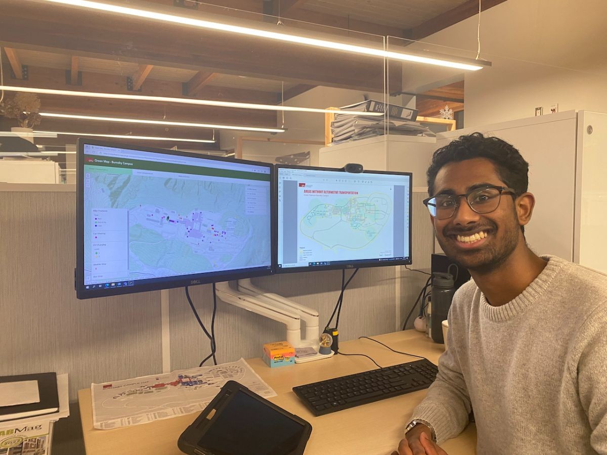
Undergraduate student in SFU’s global environmental systems program, Akmal Aslam, is using geographic information systems (GIS) to learn more about flood risks in B.C.’s Fraser Valley.
Interested in transportation, urban planning, and environmental management, Akmal has found GIS to be an invaluable tool in understanding issues and advancing solutions across a variety of fields.
Motivated by the devastating aftermath of the 2021 Sumas floods, Akmal and a classmate in GEOG 451 Spatial Modeling are developing a cellular automata model for simulating flooding of the Fraser River in the City of Abbotsford as part of a class project.
“This spatiotemporal model enables us to explore different flooding scenarios and analyze their impacts on the city over a specific time,” says Akmal.
“It’s great to see undergraduate students engage with the complex environmental challenges that they see in the world. GIS can be a great tool to advance research and help develop solutions while gaining hands-on skills,” says Suzana Dragicevic, a professor in the Department of Geography teaching GEOG 451.
This project follows Akmal’s co-op position with the BC Provincial Government's Ministry of Forests on their Surface Water team, which he says advanced his ability to interpret data and leverage GIS both in and outside the classroom.
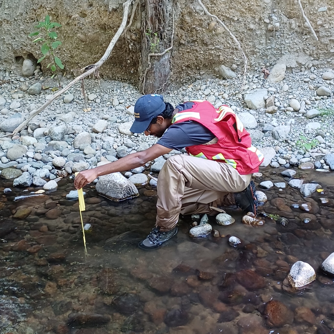
Focused on drought management and optimizing field verification, he used a python script to process and summarize large datasets and used ArcGIS FieldMaps to enhance field survey efficiency. This project supported his team in making time-sensitive decisions about the droughts in real-time, improved ongoing drought management procedures and increased efficiency of in-field processes.
“GIS has been a gateway, enabling exploration in a diverse range of fields, particularly in facilities management and water management,” says Akmal. “My interest in working with data, analyzing it, and witnessing the direct contribution of results to decision-making makes it exceptionally rewarding for me.”
As he nears the end of his degree, with only one semester to go, Akmal shares that he plans to take as many GIS courses as he can before he graduates next year, hoping to pursue a career in the field.
“I strongly recommend that everyone familiarize themselves with GIS, acknowledging its learning curve. The field is increasingly recognized for its high value, particularly in environmental sectors,” he shares.