
- About
- Research
- Prospective Students
- Current Students
- News & Events
- News
- Events
- News & Kudos Archives
- 2025 Archives
- Thesis Defence - Congratulations to Negin Shooraj
- SFU Geography Alumni Sean Orr wins Vancouver council seat in byelection
- Rosemary Collard awarded 2024 SFU Excellence in Teaching Award
- SFU Students Designed and Developed a GeoApp as a Living Wage Calculator
- Undergraduate students team secures third-place in Canada-wide GeoApp competition
- SFU Geography Wins Big at 2025 CAG Annual Conference
- Thesis Defence - Congratulations to Alex Sodeman
- Thesis Defence - Congratulations to Tintin Yang
- In Memory of Leonard "Len" Evenden, Professor Emeritus
- Gabrielle Wong awarded 2025 Gordon M. Shrum Medal
- Dr. Bright Addae awarded 2025 Graduate Dean's Convocation Medal
- Congratulations to Alysha van Duynhoven for Teaching Assistant Excellence Award
- Wildfires to waterways: SFU Geography grad takes action to protect the environment
- Making a difference on and off-campus: student leader and changemaker, Gabrielle Wong, awarded SFU convocation medal
- 2025 Alumni Newsletter
- Kira Sokolovskaia wins the 2025 SFU ECCE GIS Scholarship Award
- Mapping a path to City Hall: SFU alumnus shares journey to becoming Mayor of New Westminster
- Thesis Defence - Congratulations to Alysha van Duynhoven
- Thesis Defence - Congratulations to Hannah Harrison
- Thesis Defence - Congratulations to Jade Baird
- Thesis Defence - Congratulations to Ashley Tegart
- Rethinking the World Map: Dr. Shiv Balram featured on CBC
- Thesis Defence - Congratulations to Véronique Emond-Sioufi
- SFU Geographers at the 2025 International Cartographic Conference in Vancouver
- When academic curiosity meets environmental purpose: new global environmental systems grad builds interdisciplinary foundation at SFU
- Alysha Van Duynhoven wins the 2025 SFU ECCE in GIS Student Associate Achievement Award
- Thesis Defence - Congratulations to David Swanlund
- Congratulations to Our 2025 Warren Gill Award Recipients!
- Thesis Defence - Congratulations to Baharak Yousefi
- Thesis Defence - Congratulations to Tara Jankovic
- Thesis Defence - Congratulations to Christine Leclerc
- Thesis Defence - Congratulations to Kira Lamont
- Terri Evans: Researching homelessness in suburban communities
- Mapping change for people and the planet
- GIS Month: What is Geographic Information Science (GIS)?
- SFU GIS undergraduate develops real-time earthquake monitoring and hospital alert system
- Physical Geography student returns to SFU, dives into marine ecology, soils and GIS to map a new path forward
- SFU study searches Strava to reveal secrets to happier runs
- 2026 Archives
- SFU study searches Strava to reveal secrets to happier runs
- GIScience Students Become SFU’s First Team at National Geomatics Competition
- 2026 ESRI Canada GIS Scholarship for SFU
- Physical Geography student returns to SFU, dives into marine ecology, soils and GIS to map a new path forward
- SFU GIS undergraduate develops real-time earthquake monitoring and hospital alert system
- GIS Month: What is Geographic Information Science (GIS)?
- Mapping change for people and the planet
- GIS Team Crowned Champions of 2026 National Geomatics Competition
- Second-year MSc Student, Erin Fairley, has made it to the SFU 3MT Finals!
- Thesis Defence - Congratulations to Brandon Drucker
- In Memory of Ivor Winton
- SFU Students Create GeoApp to Reveal Transit Deserts and Oases Across Metro Vancouver
- Andrew Perkins receives 2025 Excellence in Teaching Award
- Krista Macaulay Receives Prestigious Trudeau Fellowship
- Human Geography Student Guneet Kaur Receives SFU Centre for Dialogue Award for Undergraduate Research
- 2025 Archives
- Alumni
- GEOG 162 - Canada
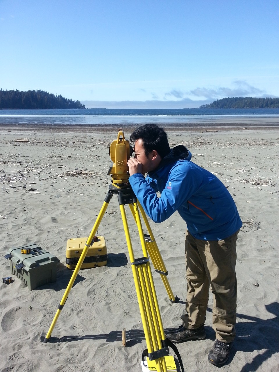
Mapping & Geomatics Technicians
Mapping & Geomatics Technicians use spatial data to produce maps, process and analyze images and identify geospatial features. Using a variety of different softwares (GIS, CAD,GPS, etc.) they transform spatial data into a more easily understandable format and help others to interpret its meaning. Mapping & Geomatics Technicians may be involved directly in data collection or might work with and use data collected by other professionals such as surveyors, land assessors, health authorities or governments. They work with data collected through surveys, aerial images, remote sensing, and global satellite systems, etc.
Much of the work done by mapping & geomatics technicians takes place in an office setting and involves the use of a computer to manipulate and visualize data, however on occasion they may take part in field work, client meetings and/or visits to data collection sites.
Mapping & Geomatics Technicians work in a variety of government, private and non-profit settings and typically have educational background in Geography or a related area and experience with a variety of mapping, remote sensing and data analysis-related software platforms.
Cory Cheung
Mapping Technician
Terra Remote Sensing
A Typical Day
During a typical day Cory spends much of his time in the office. His role is quite technical in nature and involves working with and manipulating a variety of remote sensing data. In order to use the data, it first needs to be processed, so Cory works on calibrating the data and correcting distortion in the images. He will then use the data to create digital maps, models and 3D visualizations which can be used to plan and implement practical solutions to environmental problems like rerouting traffic flows or rebuilding infrastructure in the wake of a natural disaster, managing forest fires, and monitoring the health of agricultural crops, etc.
Throughout the day, Cory interacts with clients and colleagues in other areas (surveyors, UAV operators, and project managers) to obtain data and trouble shoot issues. He uses his technical communication and interpersonal skills to help others understand and intrepret the information within his visualizations and uses his organizational and multitasking skills to keep projects running smoothly and on time.
A Day in the Life of a Mapping Technician
It's November 2021. The Fraser Valley has just been hit by what climatologists are calling an "Atmospheric River", a series of concentrated storm events which have led to torrential downpours in parts of southwestern BC and northern Washington. The storms have caused widespread flooding, wiping out roads, submerging farmland and causing massive destruction of property within the affected area. In the aftermath of this event, the BC Government has asked Terra Remote Sensing, the company for which Cory Cheung works as a Geomatics Mapping Technician, to conduct aerial surveys of impacted towns and infrastructure.
Back in the office, Cory is working to organize aerial surveying of a flooded section of Highway 1 stretching the 140km between Hope and Spences Bridge. Over the next several days, he will compile the resulting photos into a list and then process the colours and tie points in order to create a seamless 3D visualization of the area. With this visualization, Cory is able to provide an extremely accurate picture of the impacted landscape and infrastructure along this area of highway. This visualization will then be provided to the provincial government in order to guide its response and rebuilding efforts in the aftermath of the flooding in this area.
Education, Skills & Experience
As part of his undergraduate degree in Geography, Cory developed a solid understanding of GIS and remote sensing, learned how to identify geographical features and landforms and had the opportunity to work with several different GIS and remote sensing platforms. He gained real-world experience by participating in three, 8-month Co-op placements which contributed to his ability to communicate effectively and provided opportunities to gain additional technical skills, trouble shoot problems, and build experience in the field. After working in the field for a few years, Cory took additional training in GIS to further refine his remote sensing skills.
Are you interested in becoming a Geomatics/Mapping Technician?
Check out our GIS Major, Global Environmental Systems Major, or Human Geography Major for more information!