
- About
- Research
- Prospective Students
- Current Students
- News & Events
- News
- Events
- News & Kudos Archives
- 2025 Archives
- Thesis Defence - Congratulations to Negin Shooraj
- SFU Geography Alumni Sean Orr wins Vancouver council seat in byelection
- Rosemary Collard awarded 2024 SFU Excellence in Teaching Award
- SFU Students Designed and Developed a GeoApp as a Living Wage Calculator
- Undergraduate students team secures third-place in Canada-wide GeoApp competition
- SFU Geography Wins Big at 2025 CAG Annual Conference
- Thesis Defence - Congratulations to Alex Sodeman
- Thesis Defence - Congratulations to Tintin Yang
- In Memory of Leonard "Len" Evenden, Professor Emeritus
- Gabrielle Wong awarded 2025 Gordon M. Shrum Medal
- Dr. Bright Addae awarded 2025 Graduate Dean's Convocation Medal
- Congratulations to Alysha van Duynhoven for Teaching Assistant Excellence Award
- Wildfires to waterways: SFU Geography grad takes action to protect the environment
- Making a difference on and off-campus: student leader and changemaker, Gabrielle Wong, awarded SFU convocation medal
- 2025 Alumni Newsletter
- Kira Sokolovskaia wins the 2025 SFU ECCE GIS Scholarship Award
- Mapping a path to City Hall: SFU alumnus shares journey to becoming Mayor of New Westminster
- Thesis Defence - Congratulations to Alysha van Duynhoven
- Thesis Defence - Congratulations to Hannah Harrison
- Thesis Defence - Congratulations to Jade Baird
- Thesis Defence - Congratulations to Ashley Tegart
- Rethinking the World Map: Dr. Shiv Balram featured on CBC
- Thesis Defence - Congratulations to Véronique Emond-Sioufi
- SFU Geographers at the 2025 International Cartographic Conference in Vancouver
- When academic curiosity meets environmental purpose: new global environmental systems grad builds interdisciplinary foundation at SFU
- Alysha Van Duynhoven wins the 2025 SFU ECCE in GIS Student Associate Achievement Award
- Thesis Defence - Congratulations to David Swanlund
- Congratulations to Our 2025 Warren Gill Award Recipients!
- Thesis Defence - Congratulations to Baharak Yousefi
- Thesis Defence - Congratulations to Tara Jankovic
- Thesis Defence - Congratulations to Christine Leclerc
- Thesis Defence - Congratulations to Kira Lamont
- Terri Evans: Researching homelessness in suburban communities
- Mapping change for people and the planet
- GIS Month: What is Geographic Information Science (GIS)?
- SFU GIS undergraduate develops real-time earthquake monitoring and hospital alert system
- Physical Geography student returns to SFU, dives into marine ecology, soils and GIS to map a new path forward
- SFU study searches Strava to reveal secrets to happier runs
- 2026 Archives
- SFU study searches Strava to reveal secrets to happier runs
- GIScience Students Become SFU’s First Team at National Geomatics Competition
- 2026 ESRI Canada GIS Scholarship for SFU
- Physical Geography student returns to SFU, dives into marine ecology, soils and GIS to map a new path forward
- SFU GIS undergraduate develops real-time earthquake monitoring and hospital alert system
- GIS Month: What is Geographic Information Science (GIS)?
- Mapping change for people and the planet
- GIS Team Crowned Champions of 2026 National Geomatics Competition
- Second-year MSc Student, Erin Fairley, has made it to the SFU 3MT Finals!
- Thesis Defence - Congratulations to Brandon Drucker
- In Memory of Ivor Winton
- SFU Students Create GeoApp to Reveal Transit Deserts and Oases Across Metro Vancouver
- Andrew Perkins receives 2025 Excellence in Teaching Award
- Krista Macaulay Receives Prestigious Trudeau Fellowship
- Human Geography Student Guneet Kaur Receives SFU Centre for Dialogue Award for Undergraduate Research
- 2025 Archives
- Alumni
- GEOG 162 - Canada

Geographic Information Science Minor
Why Study GIS?
Interested in learning how spatial data can be used to support emergency planning, help design transportation systems, or track the progress of diseases?
Geographic Information Science (GIS) is a collection of scientific techniques and methodologies used to manage, analyze, interpret and communicate spatial data. GIS professionals use geographical, statistical and computational techniques to:
- extract spatial information from a variety of datasets (including field, clinical, satellite or remotely-sensed data)
- analyze complex spatial data to make it more easily understandable
- create interactive maps and models that are accessible to a wide audience
- identify problems and propose new solutions
- contribute to public policy and decision-making
Some examples of GIS in action can be found here, here and here.
GIS Minor
Combining foundational courses in human and physical geography with specialized electives in geovisualization, remote sensing, spatial analysis and modeling, the GIS minor provides the conceptual and technical skills needed to work in GIS-related positions. GIS is used across a wide range of fields, making it a valuable and broadly applicable skill set.
Some of the fields in which GIS are commonly used include urban and land-use planning, real estate and housing, marketing, healthcare, transportation planning, resource management, forestry, ecology, environmental conservation, geotechnical work, mining, assessment of future climate impacts, coastal management, public safety and risk assessment.
As a student in the GIS Minor you will gain experience in:
- spatial data acquisition
- remote sensing
- spatial data analysis
- geostatistical techniques
- space-time modeling
- spatial simulation
- data visualization
- multimedia cartography
- spatial data privacy
- geovisual analytics
- CAD-GIS integration
- spatial interface technologies
- spatial computing in VR, MR and XR
Want to learn more about the work GIS professionals do?
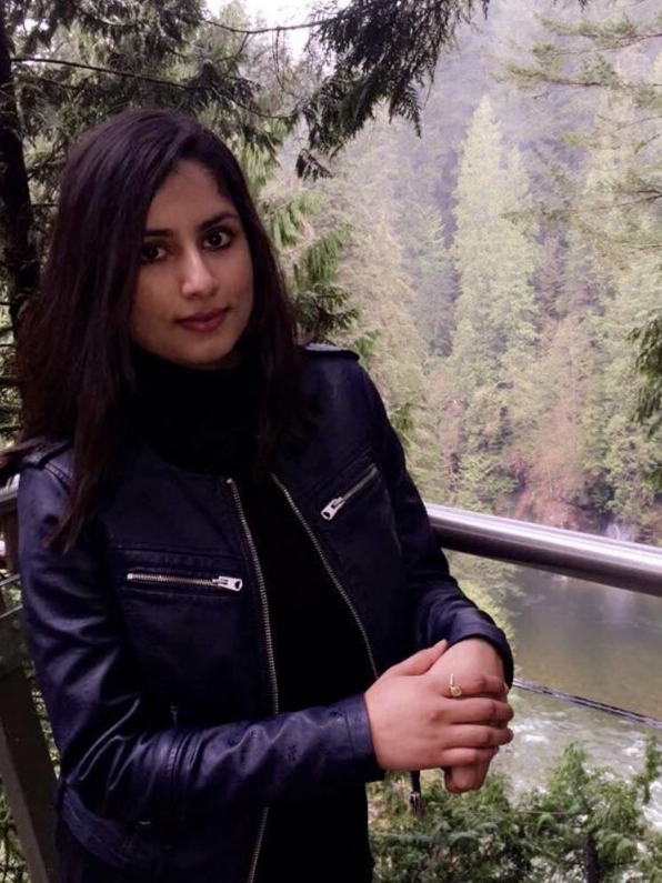
Check out the co-op profiles for students Nathan Zemp, Akansha Vaish and Isaac Cave.
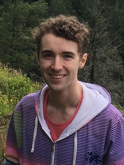
Nathan Zemp - GIS Tech Asst (co-op placement)
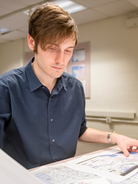
Isaac Cave - GIS Analyst (co-op placement)
Interested in adding the minor?
Contact a Geography Advisor for more information.